Chantries
Guildford
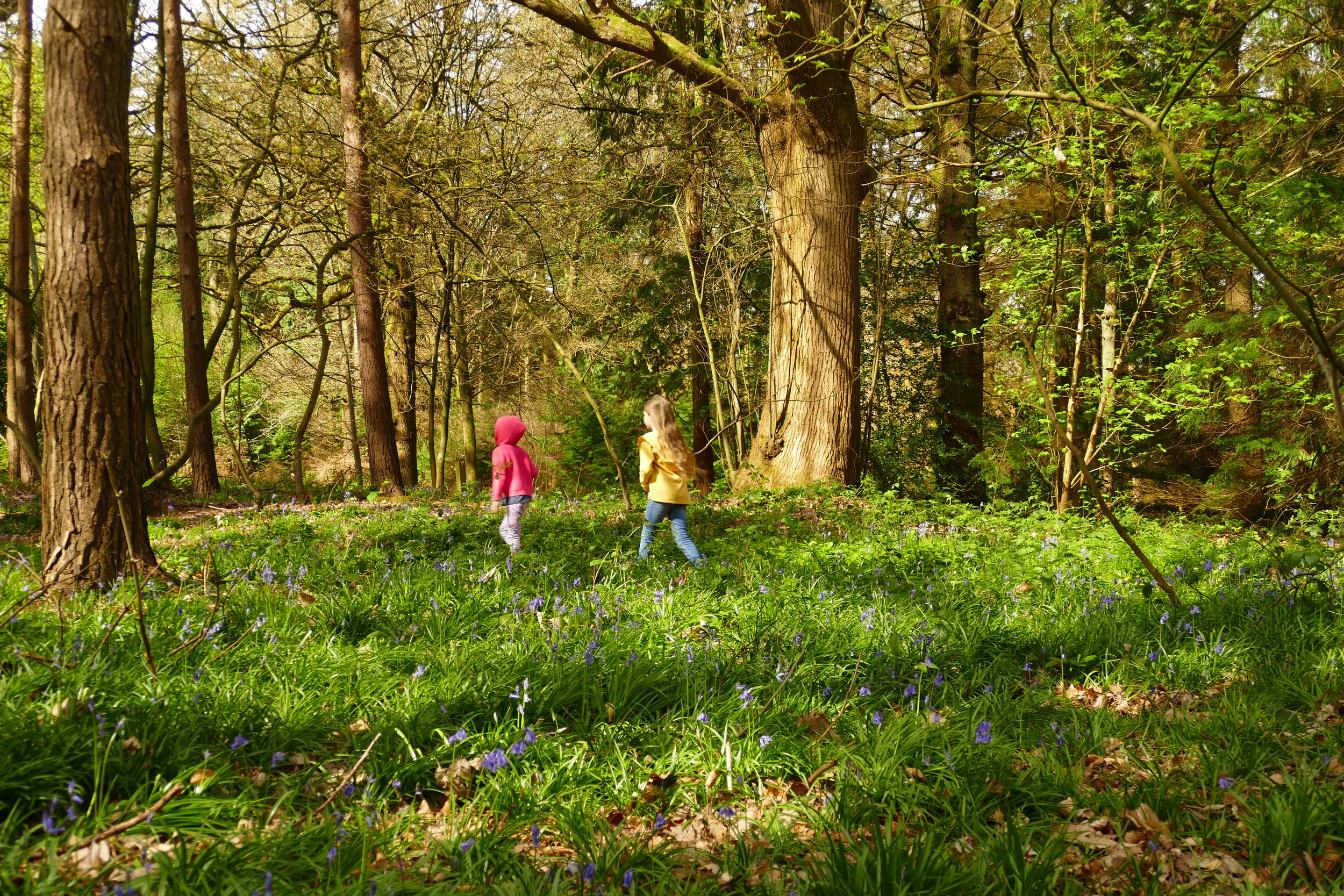
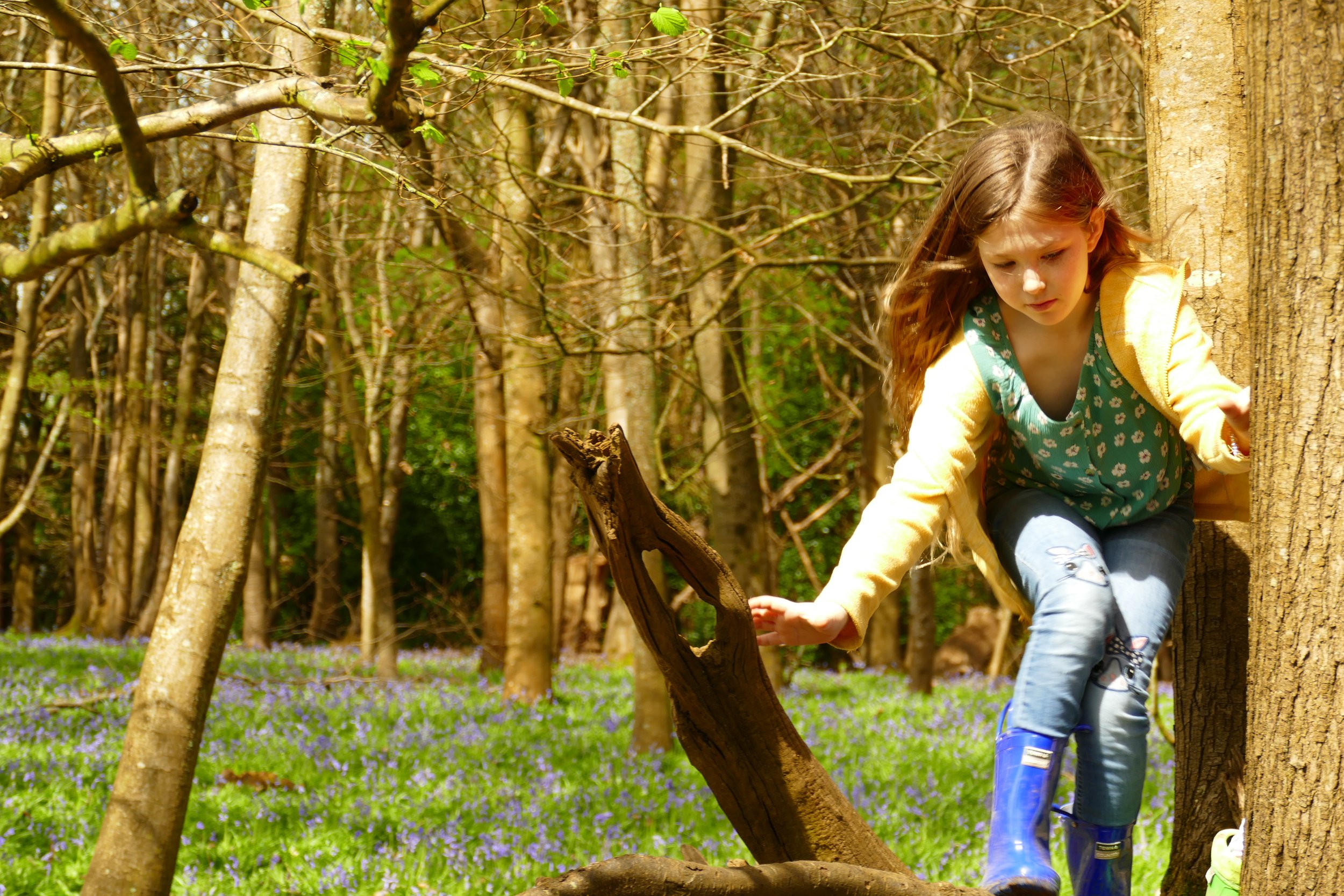
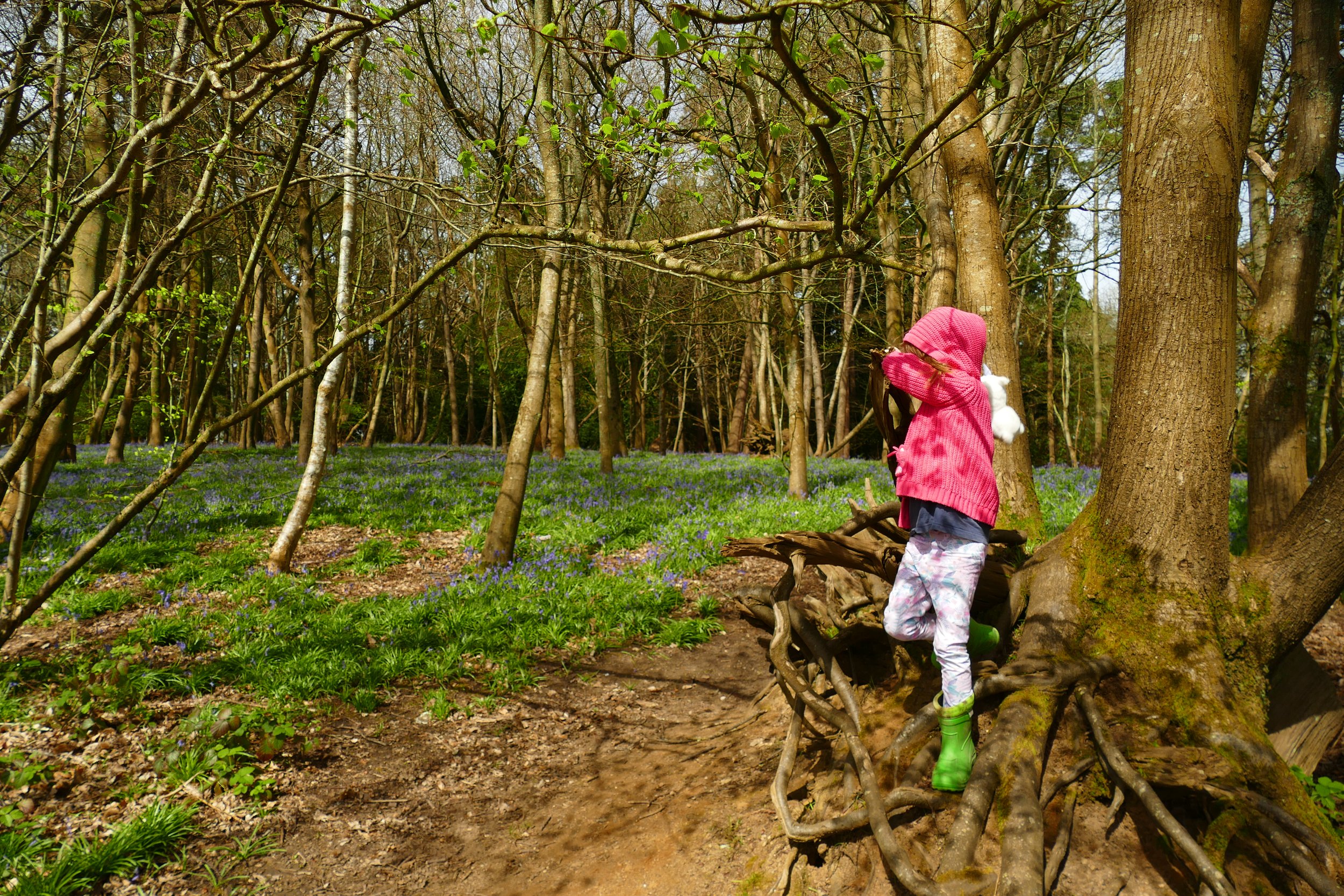
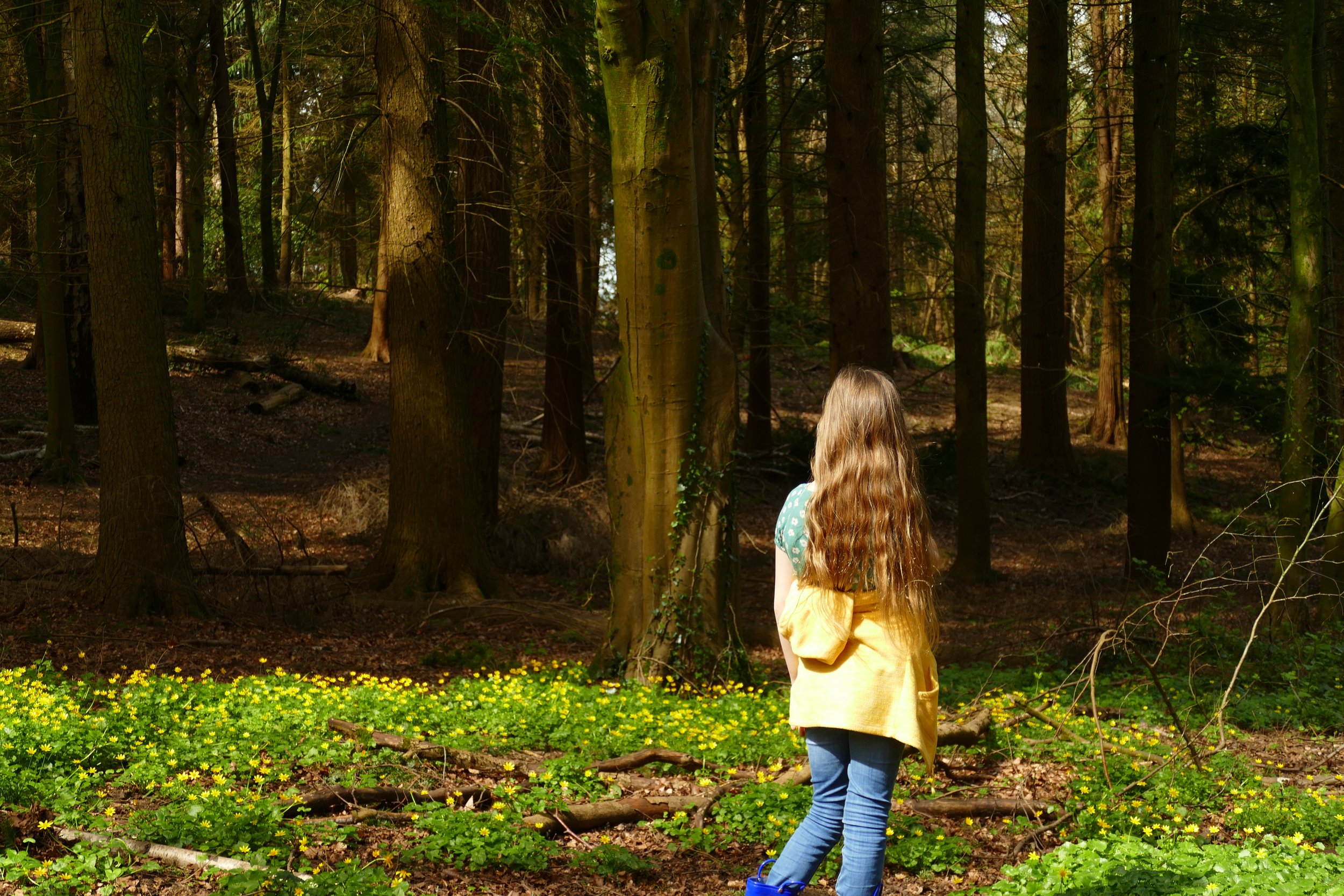
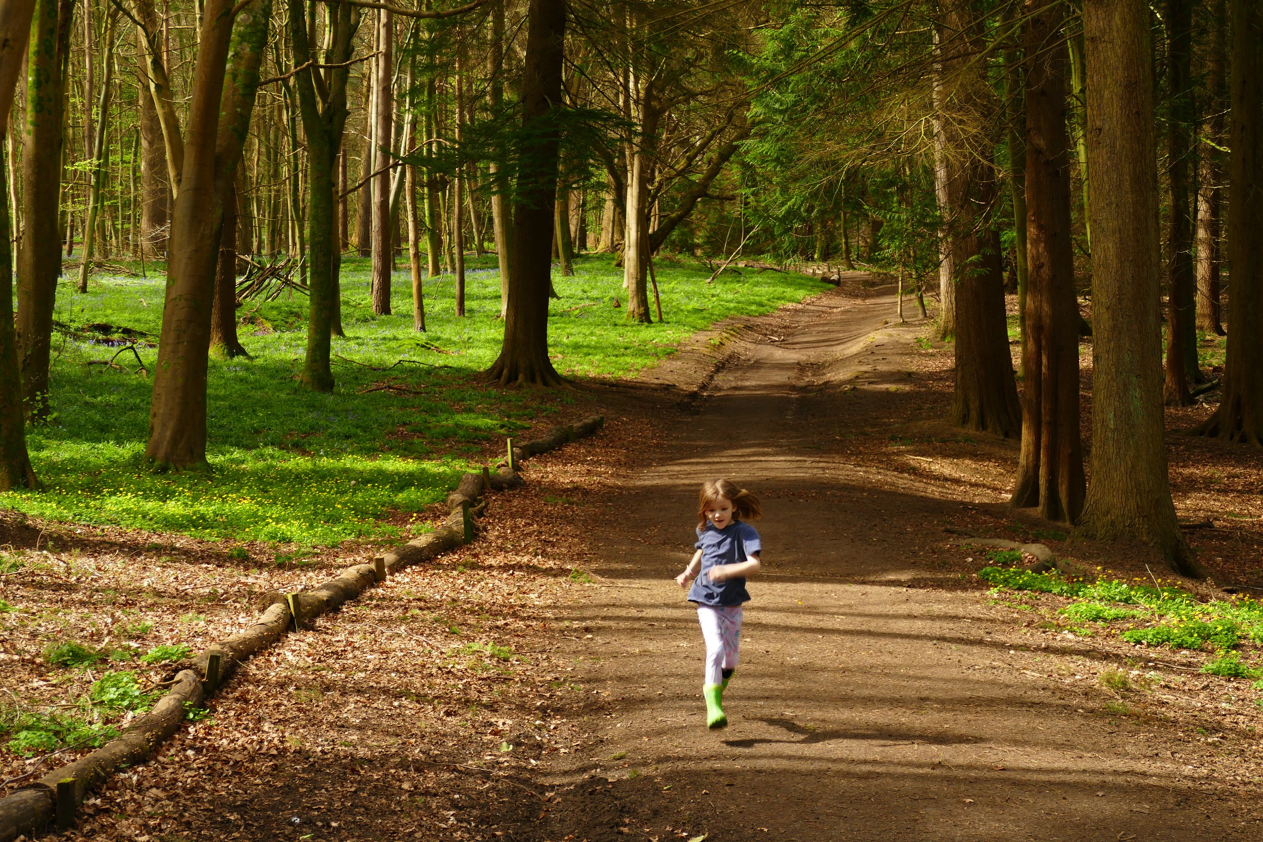
Children will enjoy exploring the woodland and admiring the spring flowers on this walk.
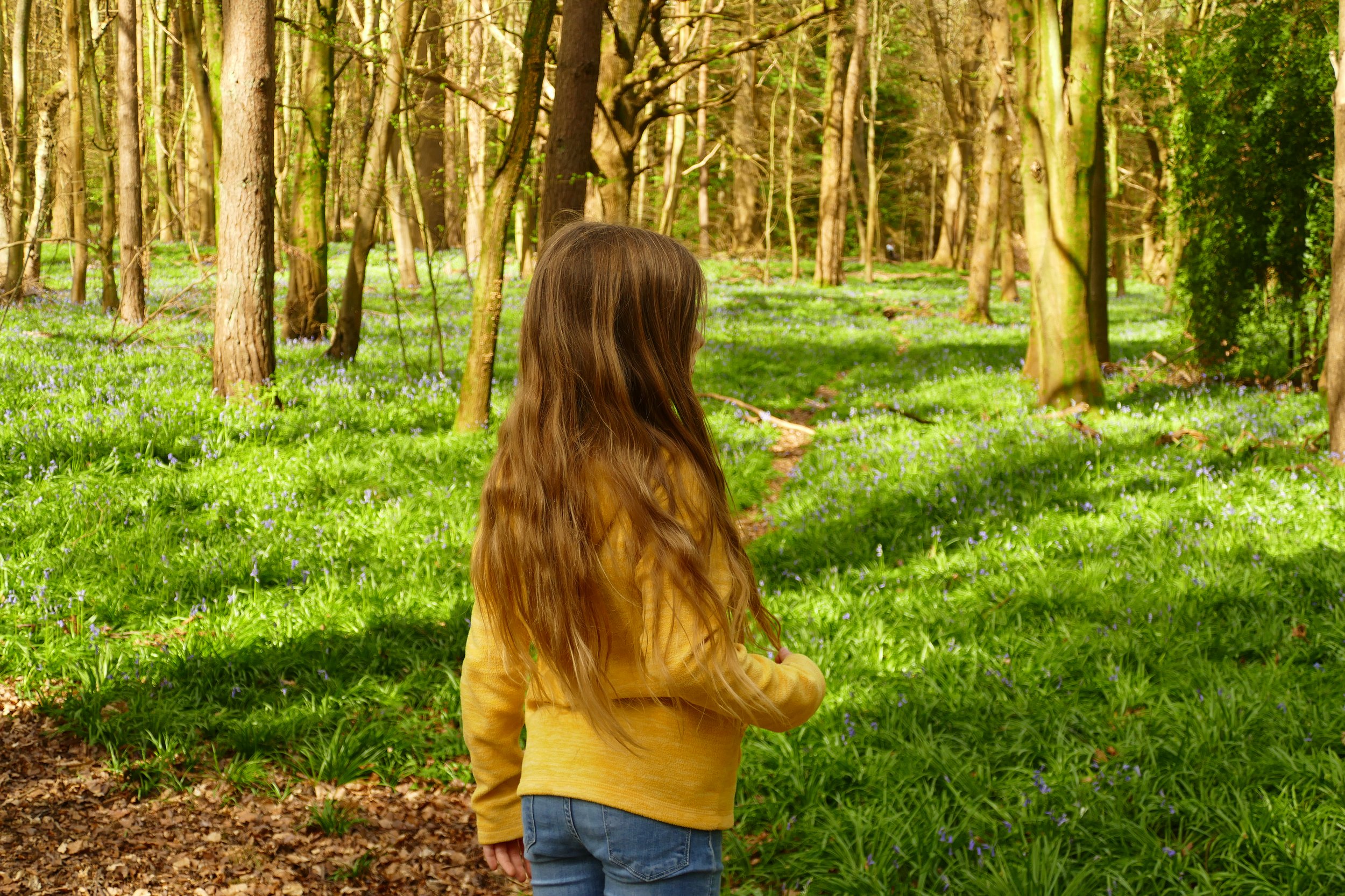
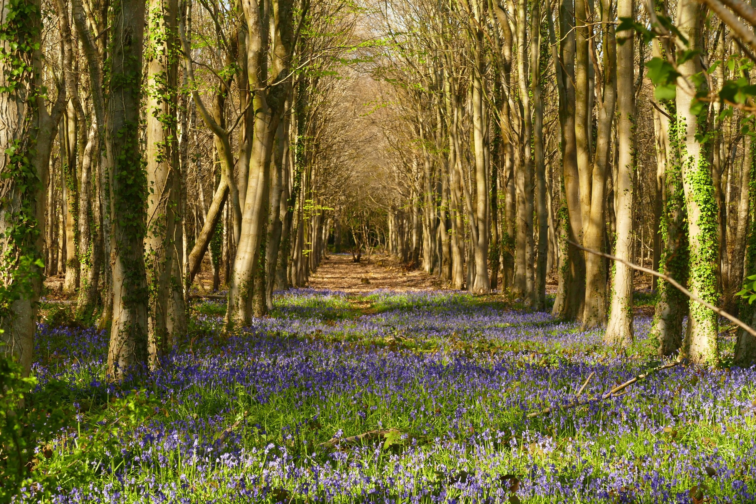
The entrance to the woodland with bluebells covering the are ahead
The Basics
Time: 2.6 km
Distance: 40 mins
Terrain: Woodland paths, mostly firm depending on the route you chose and generally flat
Pushchair: Yes, depending on the route you choose around the wood
Dogs: Yes
Refreshments: None on the route, but Guildford town centre is a short drive away
Toilets: None
Public Transport: There is no public transport to the side of the wood our walk starts from, but it is possible to walk from Guildford and join the woodland from the west side
Parking: Free car park for St Martha’s Hill on Halfpenny Lane also serves The Chantries (Postcode: GU4 8PZ - W3W: shady/alien/cheek) . There are other car parks, but we chose to try this one as I had read it was the most likely to offer pushchair friendly access.
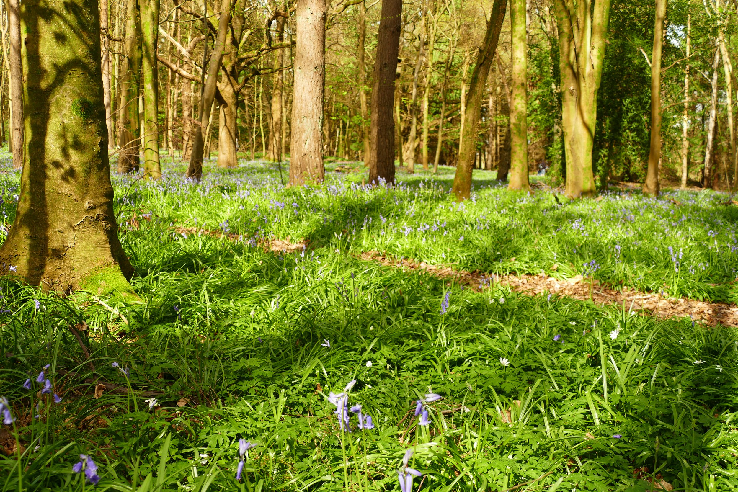
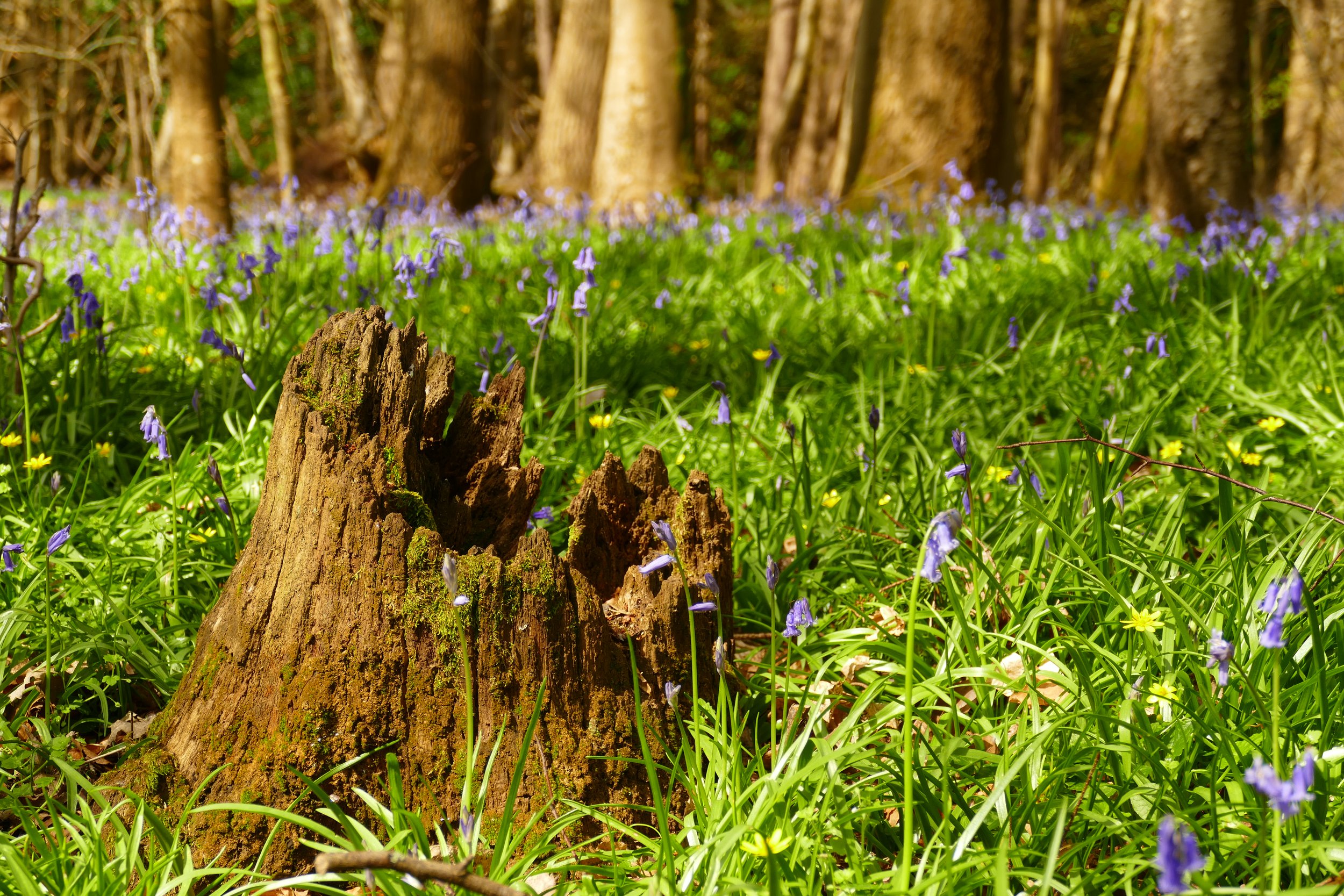
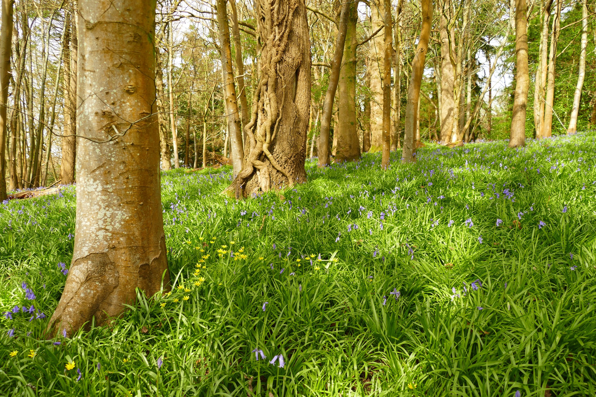
Thousands of bluebells
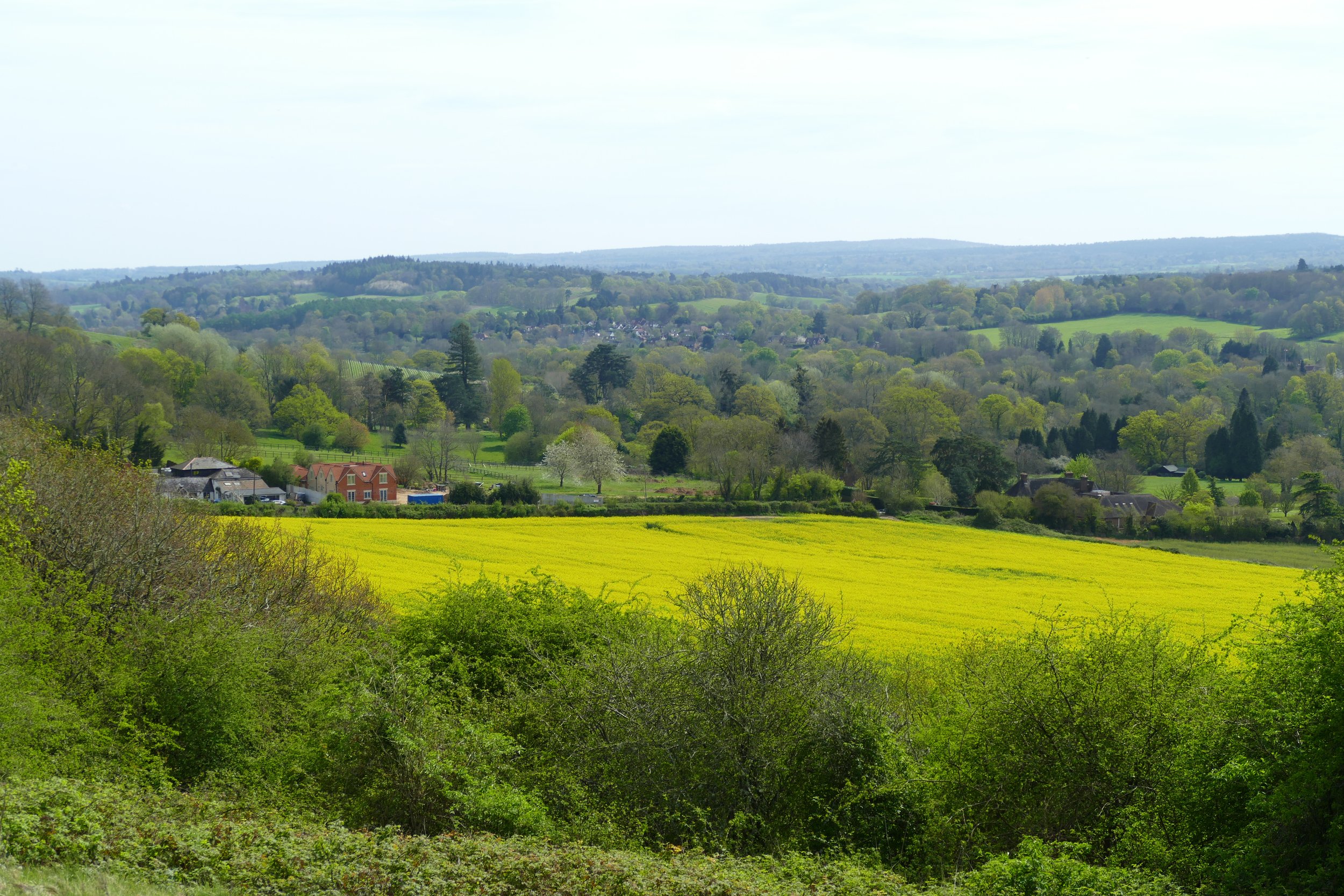
The Chantries, or Chantry Wood, is a well known place to enjoy bluebells in Surrey and it isn’t hard to see why. The display here is breath-taking. Added to this, the elevated position of the wood means there is an option to take in viewpoints giving vistas across the Surrey Hills.
The Route
Of all the routes we describe, woodland ones can be the hardest. There are often a network of paths crossing each other and few obvious waypoints. Sometimes we feel it is better that the walker picks their own paths and walks for their own desired length. It is pretty easy to navigate through The Chantries as the wood is bordered by slopes to the south and farmland to the north and if you walk too far to the west, you will just come to the road. That being said, for those who like guidance, I will do my best to describe our route around the wood:
From the St Martha’s Hill car park, cross the road and turn right. Almost immediately, turn left down the lane signed for St. Martha’s Priory and Southernway. Just as this lane takes a bend to the left, you will see the entrance to Chantry Wood.
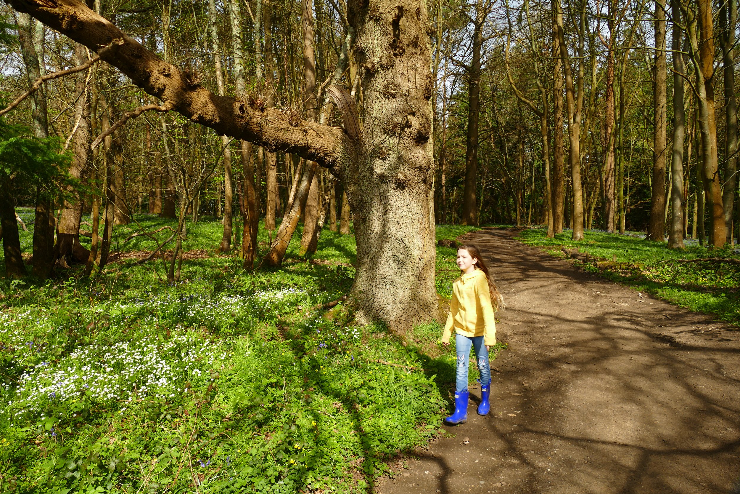
At the entrance point, you will find yourself on a raised level, looking down into the wood. Ahead is a fork of two paths meeting at a point. We began by taking the left hand path. You will almost immediately see the bluebells. The site is well managed in an attempt to discourage people from walking on the bluebells. Please adhere to this by staying on the main paths and not climbing any of the natural barriers put in place.
As you pass the campsite buildings, you can leave the woods if you wish to take in the views - there are lots of places where you can re-join the woods further up.
We walked along the left hand side of the wood, with the views away to our left and the bluebells spreading to our right until the path eventually brought us up to a T-junction. We could see yellow gorse bushes directly ahead of us as well as a fence. There was a yellow and blue sign attached to a tree and pine trees in the distance. We turned right here and followed the path down the other side of the woodland. The tree type is different in this part of the woodland -more conifers - so there were no bluebells.
As the sandier path swung to the left and dropped down, we forked right and continued to a T-junction. We turned left and walked parallel to a field full of horses away to our left. As the path swung down to the left once again, we met a cross paths and turned right to follow the North Downs Way. This led us back to the entrance to the wood.
Did you know?
Conservation work is being carried out to restore the ancient woodland to its native origins. This includes clearing areas of conifers, thinning beech trees and removing weaker and smaller trees to allow more sunlight to reach the ground which will overtime help to increase the bluebell population.
If you liked this walk…
…try this one just across the road at St. Martha’s Hill. You can easily walk between the two locations.
We are passionate about keeping The Ambling Path as a free resource available to everyone, forever. If you have enjoyed using our walking guides, then please consider leaving us a donation. This will help to cover our costs as well as rewarding the considerable time and effort needed to maintain the site. Thank you.


