Holmsley Ridge
Burley
Children will enjoy finding ponies at the pond and playing in the stream.
Enjoying the streams on the walk
The Basics
Time: 1 hr 20 mins for the circular walk or 1 hour each way for the linear pushchair walk to Holmsley tea-rooms.
Distance: 4.4 km / 2.7 for the circular walk or 3.5 km / 2.2 m each way for the linear pushchair walk to Holmsley tea-rooms.
Terrain: Rough and sometimes uneven heathland, boggy ground in winter and disused railway track for the circular walk. The linear pushchair walk just follows the smooth and flat railway track.
Pushchair: The disused railway track is perfect for pushchairs other than a few puddles in winter - follow this for a linear walk.
Dogs: Dogs are welcome on this walk.
Refreshments: For the circular walk, you could have a picnic on the lawn near the car park and stream, or Burley is a two minute drive away with plenty of cafes, tea-rooms and pubs. For the linear pushchair walk, go as far as The Old Station Tea Rooms, Holmsley.
Toilets: There are no public toilets on this route, but there are some in the main car park in Burley.
Public Transport: Use the Taxishare number 35 from Lyndhurst and alight at Chubbs Farm or use the same stop for the Morebus 125 service between Ringwood and Christchurch. You can then walk to Burbush car park.
Parking: Burbush car park, Pound Lane, free (Postcode: BH24 4EF - W3W: ///deflation.refrained.launcher)
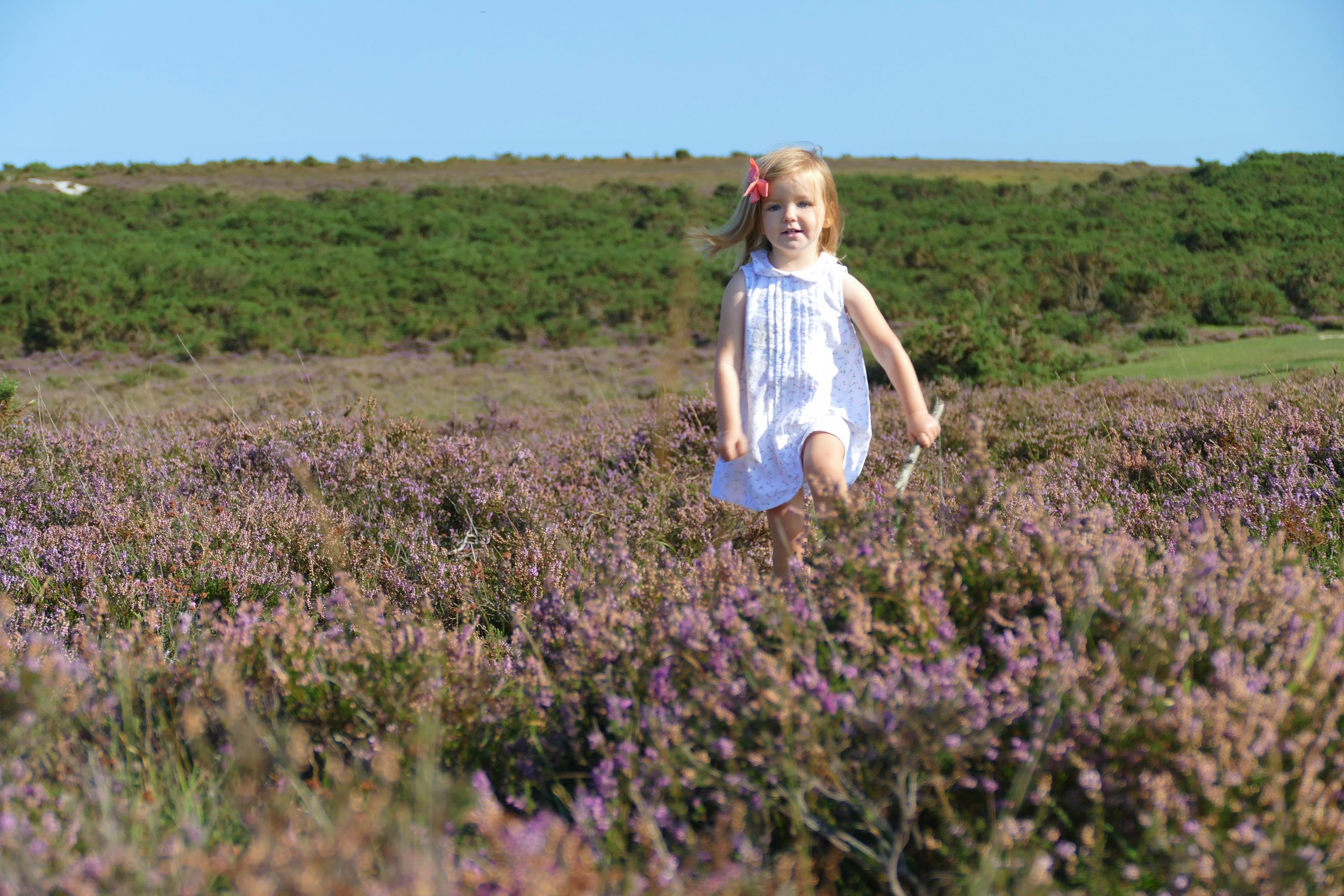
This is a great area for heather in late summer
This walk starts at Burbush, where there is a large grassy lawn with streams running through it. Starting here, you can follow the disused Castleman’s Corkscrew railway track for a flat, linear walk which could end at a tea-room, or a circular walk that ascends to Holmsley Ridge with great views before descending again to Whitten Ponds.
The Route
From the car park, join the disused Southampton and Dorchester railway line, which is now a straight, flat and gravelled path perfect for recreations like walking and cycling. It leaves from the end of the car park and initially looks narrow, but just around the corner it straightens and widens out. For the linear pushchair walk, we recommend that you simply follow this track for around an hour to reach The Old Station Tea Rooms.
To complete an all terrain circuit over the ridge and down to Whitten Ponds, walk along the track as far as what remains of Greenberry Bridge. You won’t see much of a bridge now, but the clue that you are in the right place is the crumbling brick walls on either side of the path and the built up embankment.
Take the right hand path here between the brick, going up the hill and away from the railway track. The path will quickly reach a fork and you should chose the less defined right hand path that passes to the left of a clump of oak, pine and holly trees. The path then passes tightly between gorse bushes before opening up again. Just as you reach the top of the ridge, the path will curve to the right where it will then meet the wide, heathland path that traverses along the top of Holmsley Ridge. Veer right and follow this path.
When you see the ponds come into view down below you, the path will split. Fork left and descend down towards the left hand pond. Water running off the hill has eroded the path into little ‘canyons’ and you should follow these down the hill.
When you reach the flatter ground, keep just to the left of the ponds and follow the path as it heads straight up towards the road. You will see the cars passing ahead of you, so will know the direction to go.
When you reach the road, turn right and walk along the grass parallel to the road. Go over a bridge and then turn right to arrive back at the car park. At the left hand end of the car park, look out for a grassy lawn and streams where it is a nice place to spread a blanket and have a picnic.
As a member, you gain instant access to all 174 PDF files. Members also benefit from special members-only discounts at some of our favourite pit-stops.
Did you know?
Known as the ‘Castleman’s Corkscrew’ after the man who promoted it and the shape it wound across the terrain, the now dismantled railway ran from Southampton to Dorchester. Large portions of it now form part of the New Forest’s excellent cycle network.
If you enjoyed this walk…
…try this one at nearby Burley Inclosure and compare the heathland to the woodland.
We are passionate about keeping The Ambling Path as a free resource available to everyone, forever. If you have enjoyed using our walking guides, then please consider leaving us a donation. This will help to cover our costs as well as rewarding the considerable time and effort needed to maintain the site. Thank you.


