Bramshott Common
Liphook
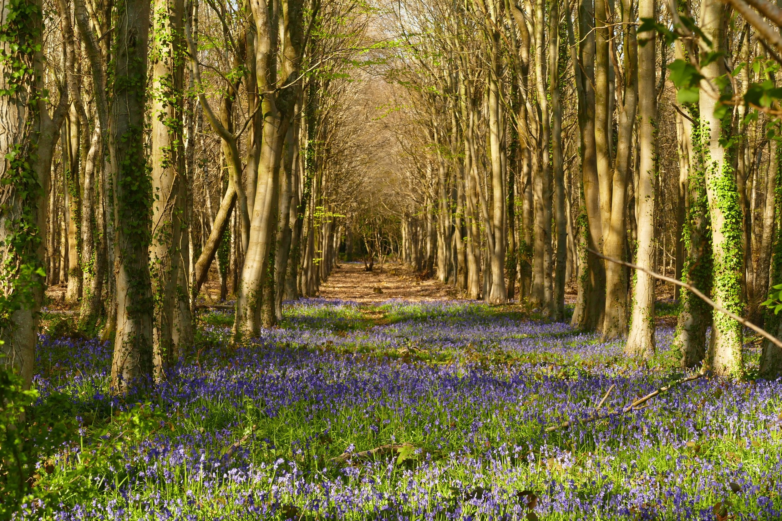
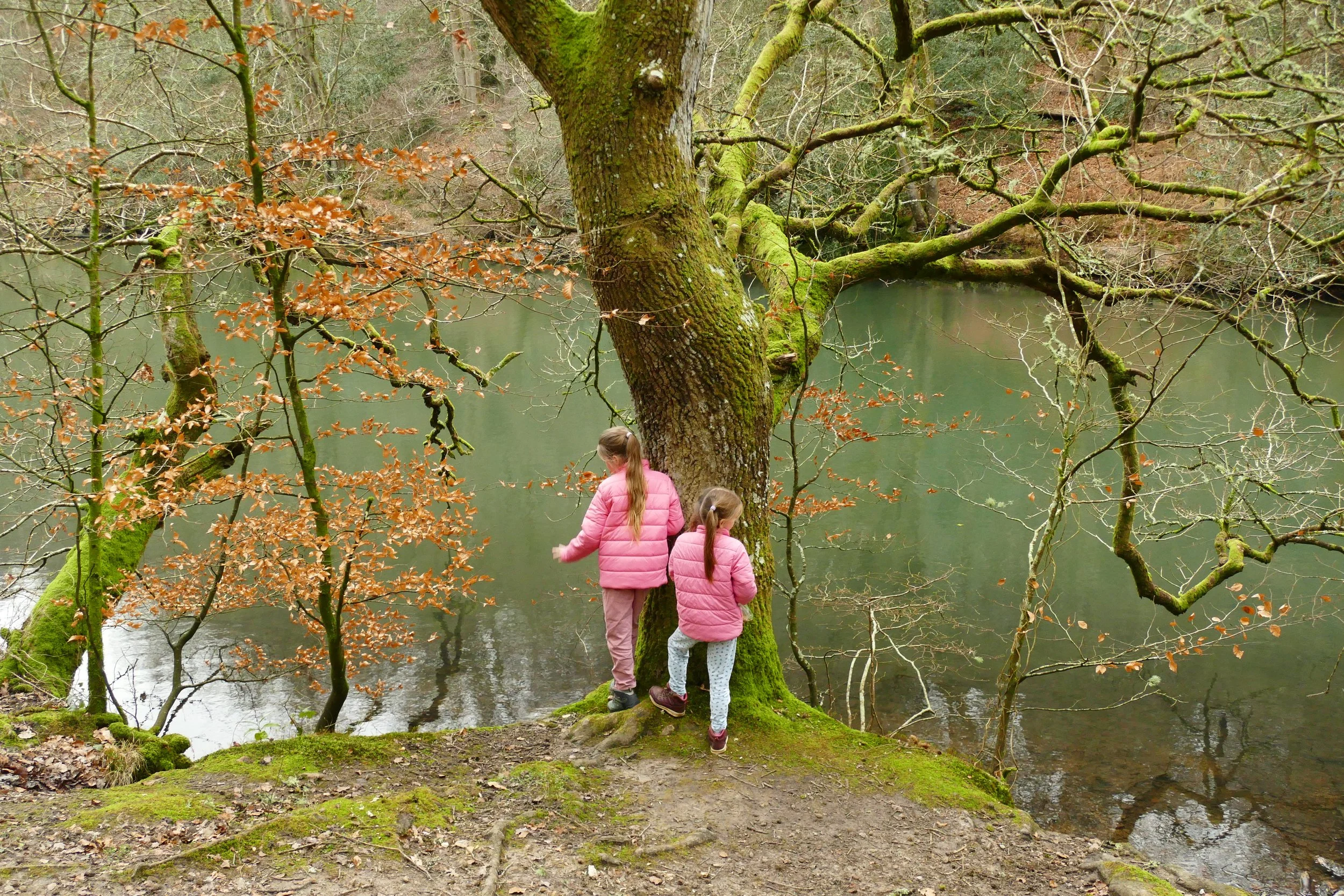
On this walk, children will enjoy the ponds at Waggoners Wells with ducks, fish and lily pads. Also look out for a rope swing, stream and a natural climbing frame in the roots of an old tree.

The tree with an amazing root network at Waggoners Wells
The Basics
Time: 1 hr 15 mins
Distance: 4.3 km / 2.7 miles
Terrain: Mostly unsurfaced tracks that can get muddy in winter, a few hill climbs.
Pushchair: This route is not suitable for pushchairs.
Dogs: Dogs are welcome, but they should only swim in the top pond at Waggoner’s Wells.
Refreshments: There are no refreshment opportunities on this walk.
Toilets: There are no public toilets.
Public Transport: There is no public transport to this location.
Parking: Free car park at the very end of Rectory Lane, Bramshott (Postcode: GU26 6DN - W3W: ///feelers.replayed.punctured)

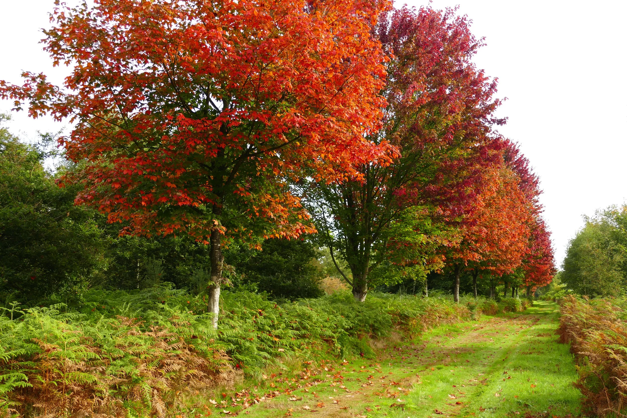
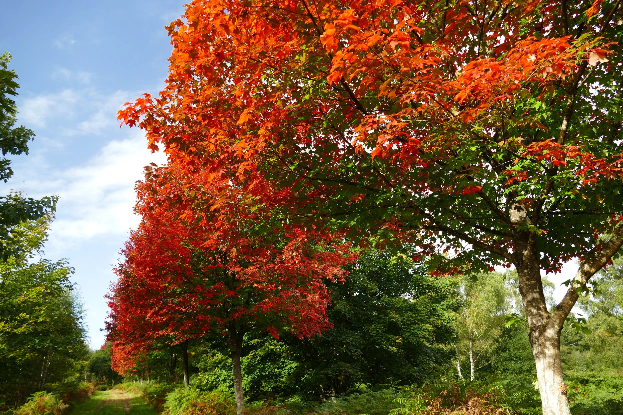
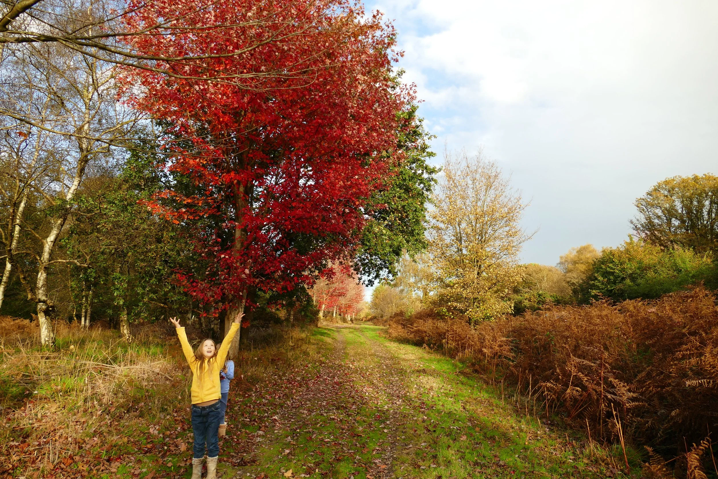
Bramshott Common is one of our favourite places to walk in autumn
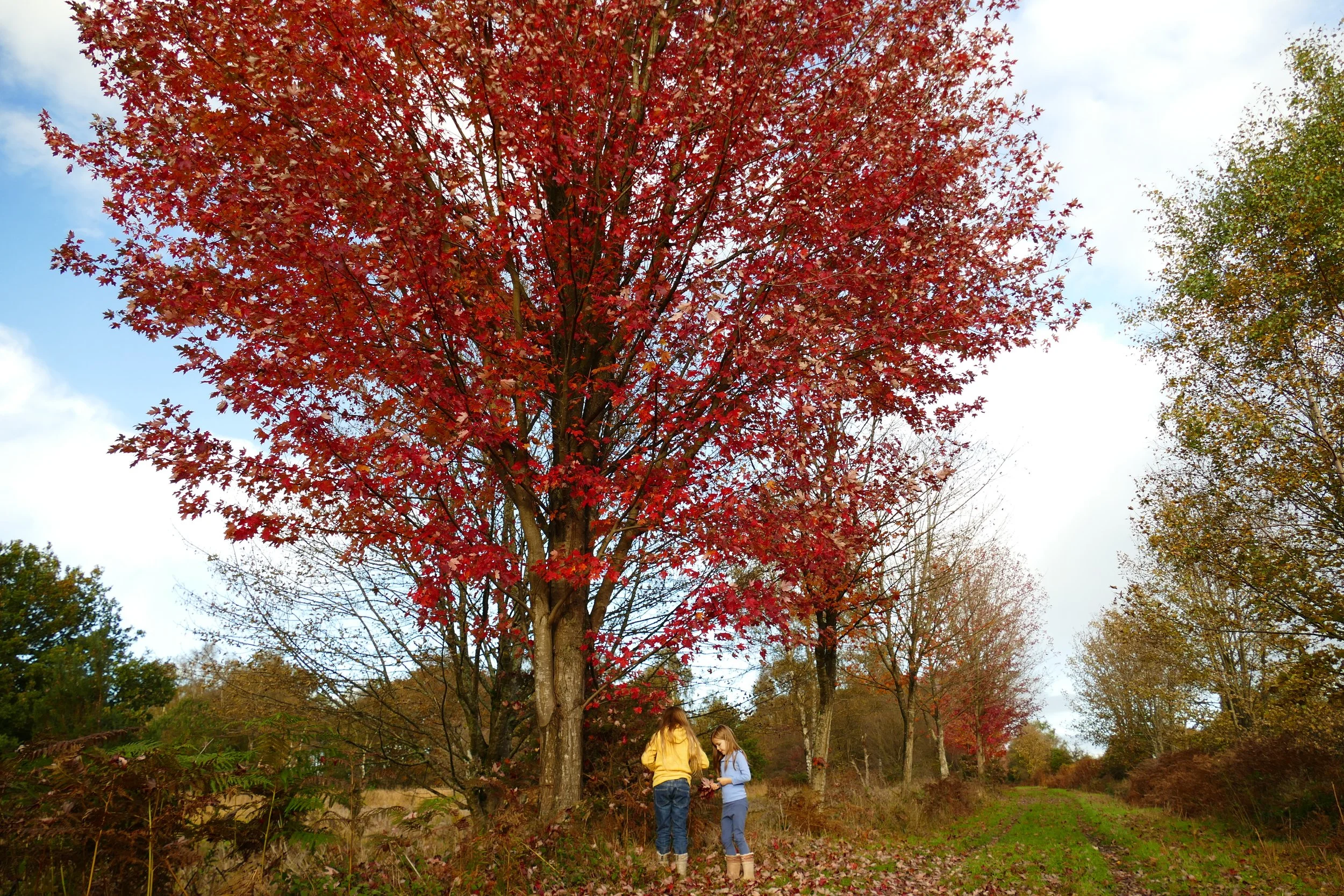
Not far from the A3, Bramshott Common is an easy place to explore and just next door, The National Trust manages Waggoners Wells with it’s three interconnected ponds. This walk includes both areas and is particularly enjoyable in the autumn when an avenue of Canadian maples turns bright crimson.
The Route
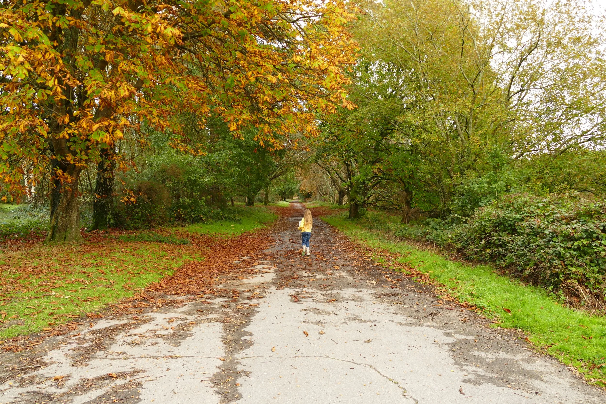
Exit through the rear of the car park by going around the metal pole barrier. This track will actually lead you away from Bramshott Common and towards Waggoners Wells. Children should look out for the rope swing on the way down. Continue until you see a stream and a wooden footbridge ahead. Do not go over the bridge (although this does make a fun place for kids to play), and instead turn right. Ignore the bridle path heading off to your right and soon come to a wooden barrier designed to stop cyclists.
When you reach the first pond, children will enjoy a little diversion over the wooden bridge away to your left to a tree with exposed roots that make a fun climbing frame. Make sure to return to the other side of the pond afterwards and continue walking with the water to your left. Keep going in the same direction until you reach the start of the second pond and a little ‘waterfall’.
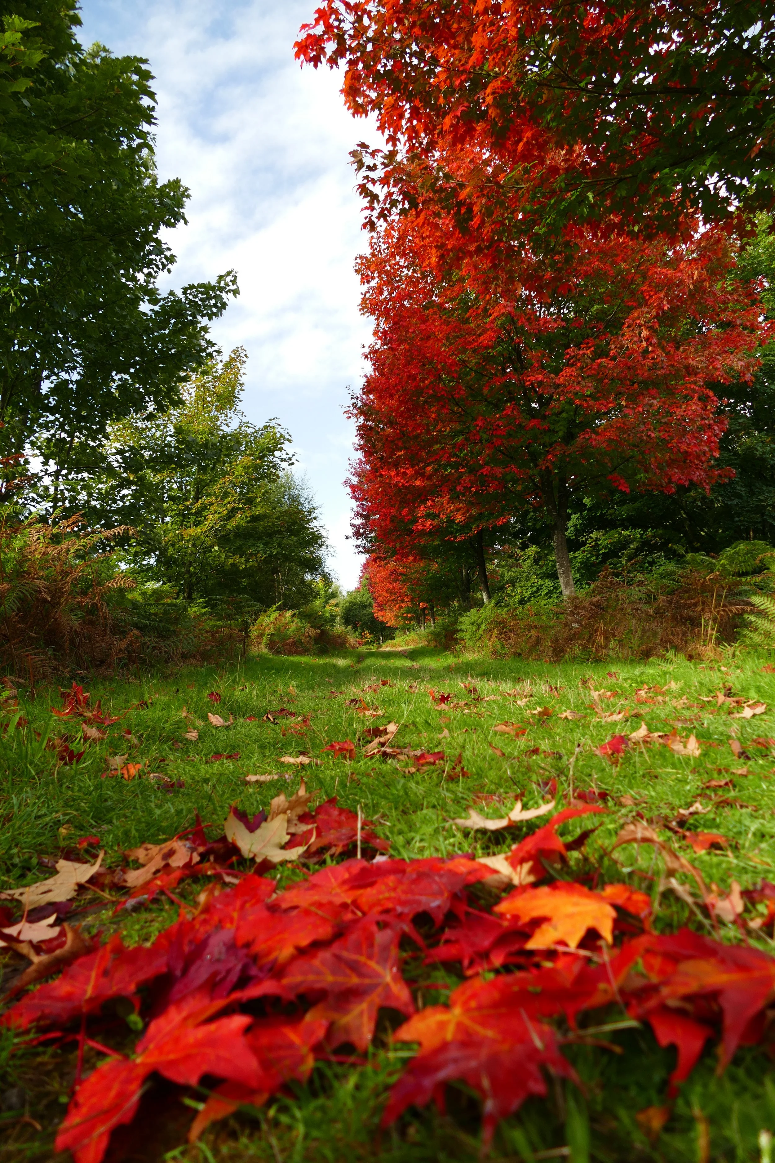
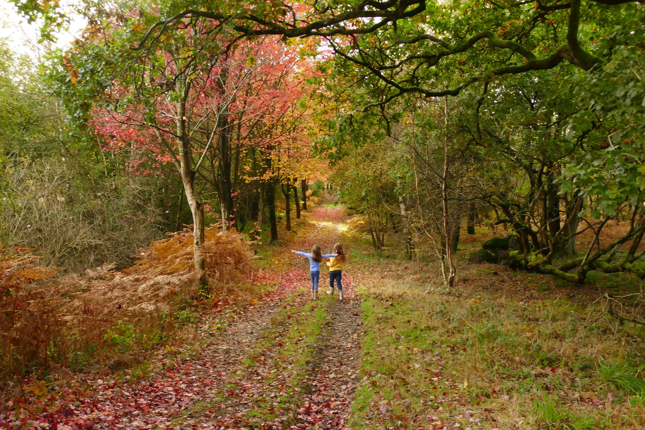
A few metres after this, you will need to turn right away from the ponds. The path isn’t well marked initially, but you should recognise it by the four little posts designed to stop vehicles. This path will lead you back towards Bramshott Common and will soon be lined by bracken and pines. Continue as the path climbs and then levels off at the open common.
Once you reach the top, turn left onto the worn vehicle track that soon intersects the path. Just before you reach a gate, turn right following the blue arrow of the bridle path towards a pair of portaloos (perhaps not a permanent feature?). Soon after, the path will begin to descend. Veer left in the dip, following the blue arrow as the path begins to climb again. Next, bend right, still following the blue arrow.
When you are almost within touching distance of the A3, veer left away from the bridleway and walk directly parallel to the A3, which should be just a few metres away from you to your left. During mid to late September, this long straight stretch is lined by Canadian maples that turn an astonishing shade of red.
When you reach an underpass going under the A3, turn right and head upwards until you hit a tarmac track used by the military. Cross over and continue in the same direction on the grassy path ahead. At an open clearing, turn left and then fork right when the path splits. After a few metres, turn right at the T junction and then take the next left to walk straight back to the car park.
As a member, you gain instant access to all 150 PDF files. Members also benefit from special members-only discounts at some of our favourite pit-stops.


Did you know?
Bramshott common was the site of a temporary army camp during the first and second world wars and a Canadian military hospital stood on the site beside the A3 trunk road. The maple trees were planted to honour this.
If you enjoyed this walk…
…this guide describes the short loop around the rest of Waggoners Wells
We are passionate about keeping The Ambling Path as a free resource available to everyone, forever. If you have enjoyed using our walking guides, then please consider leaving us a donation. This will help to cover our costs as well as rewarding the considerable time and effort needed to maintain the site. Thank you.