Stoke Park Wood
Bishopstoke
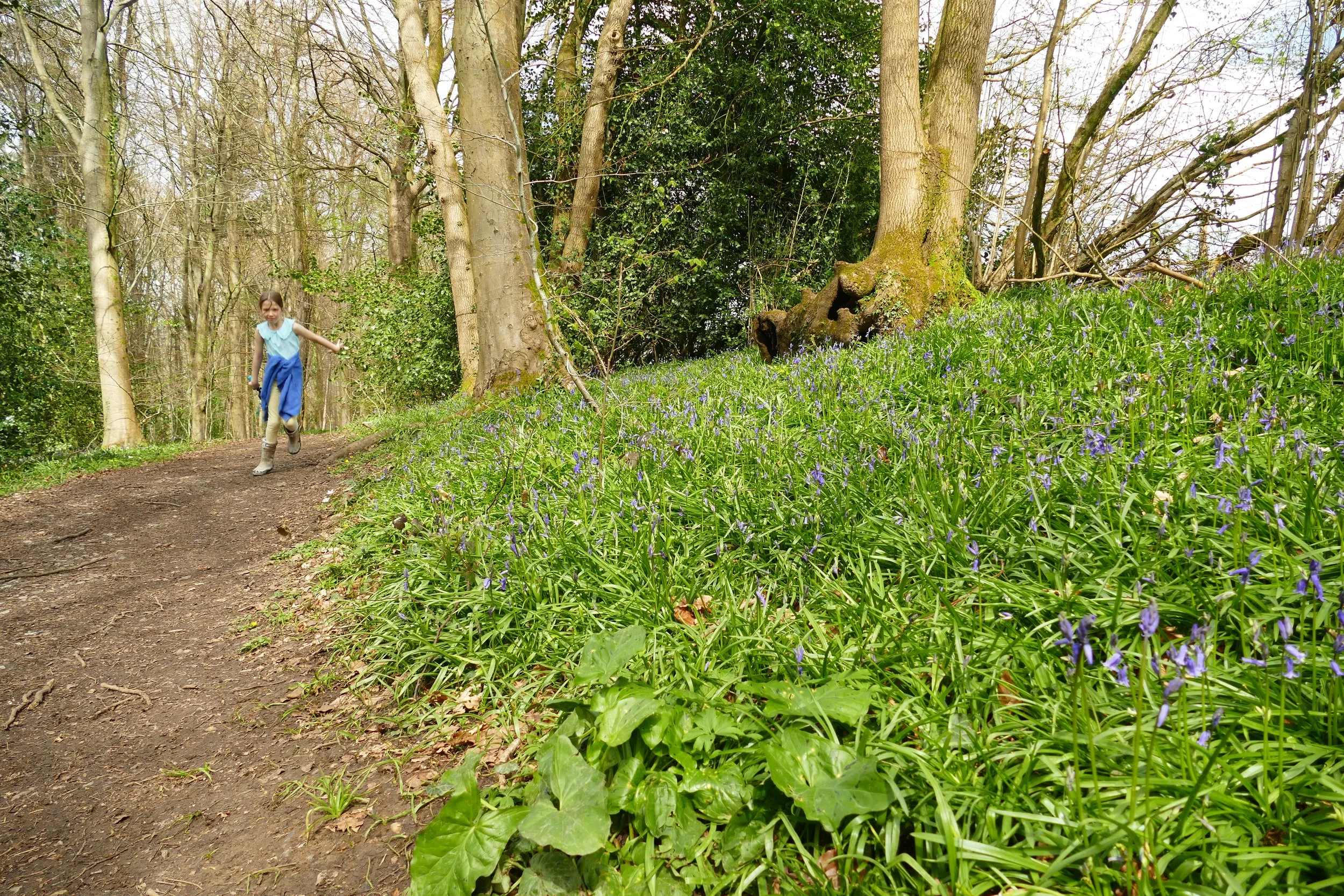
Children will enjoy the bluebells, an open access woodland to play in, the bike park and the bird benches on this walk.
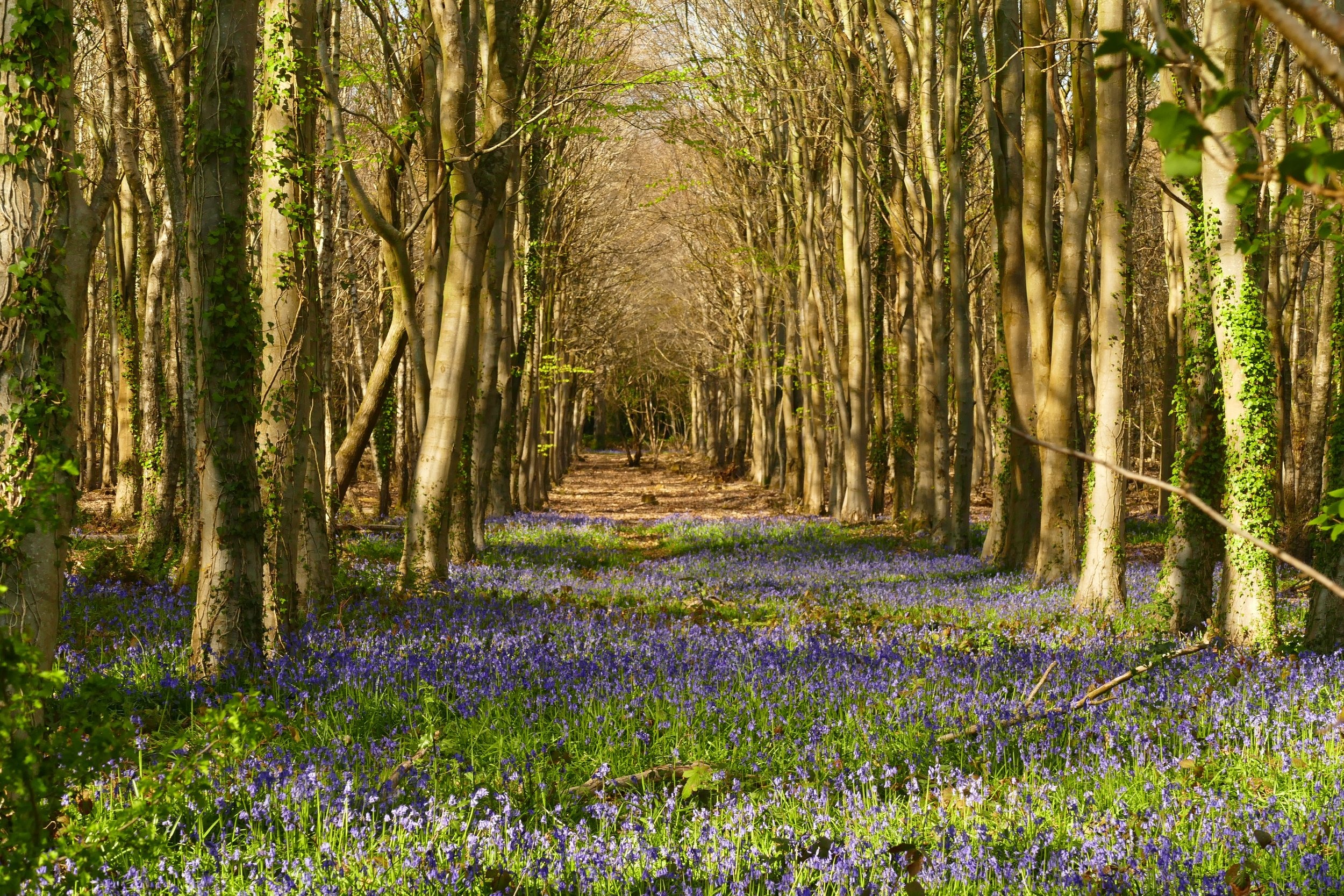
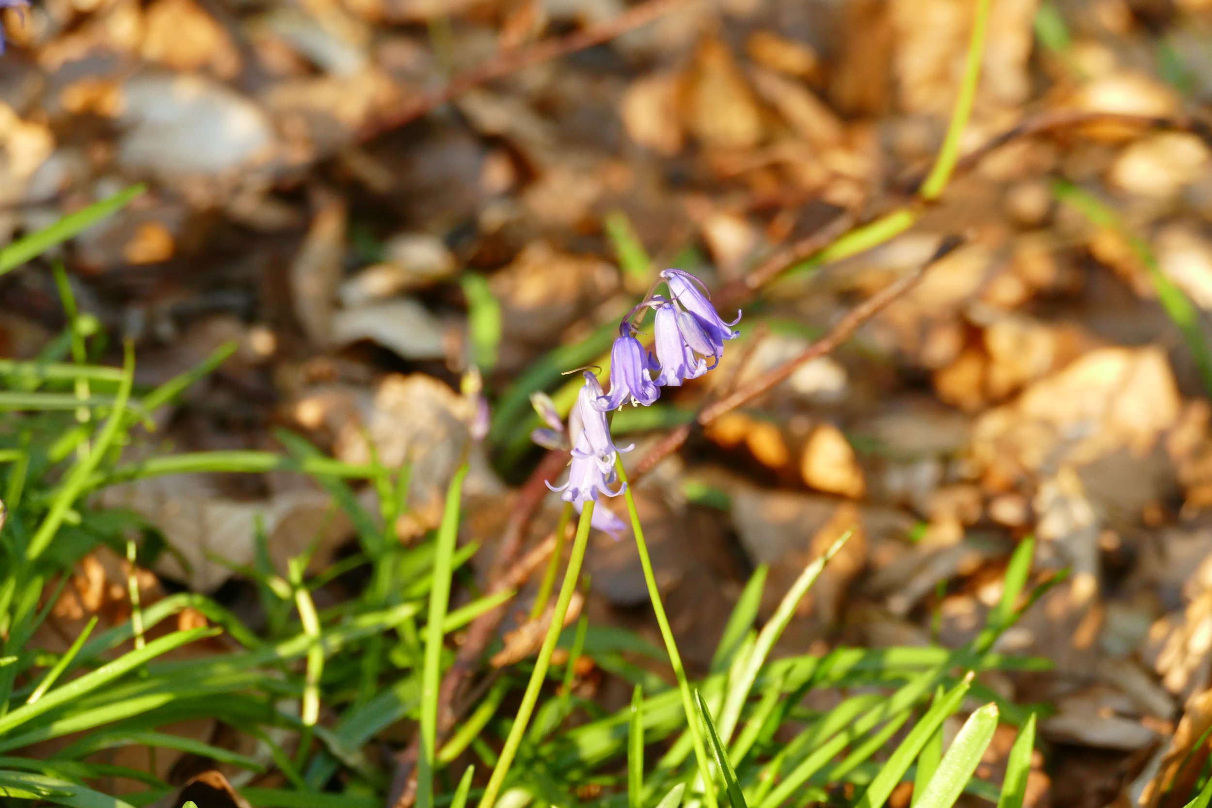
Bluebells fill the ancient woodland in spring
The Basics
Time: Bluebell Walk (25 minutes) All Weather Walk (1 hour)
Distance: Bluebell Walk (1.5 km) All Weather Walk (3 km)
Terrain: Bluebell Walk (Rough, muddy, steps, uneven ground including tree roots) All Weather Walk (Compacted gravel, some gradual slopes)
Pushchair: Bluebell Walk (no) All Weather Walk (yes)
Dogs: Yes
Refreshments: None
Toilets: None
Public Transport: Bluestar bus route 2 from Southampton stops at Droke Road on Stoke Park Road, just a short walk from the entrance to the woods
Parking: Small, free car park at the eastern end of Stoke Park Road (Postcode: SO50 6BW - W3W: door/grain/rich). If this is full, you should be able to find free parking on the surrounding roads.
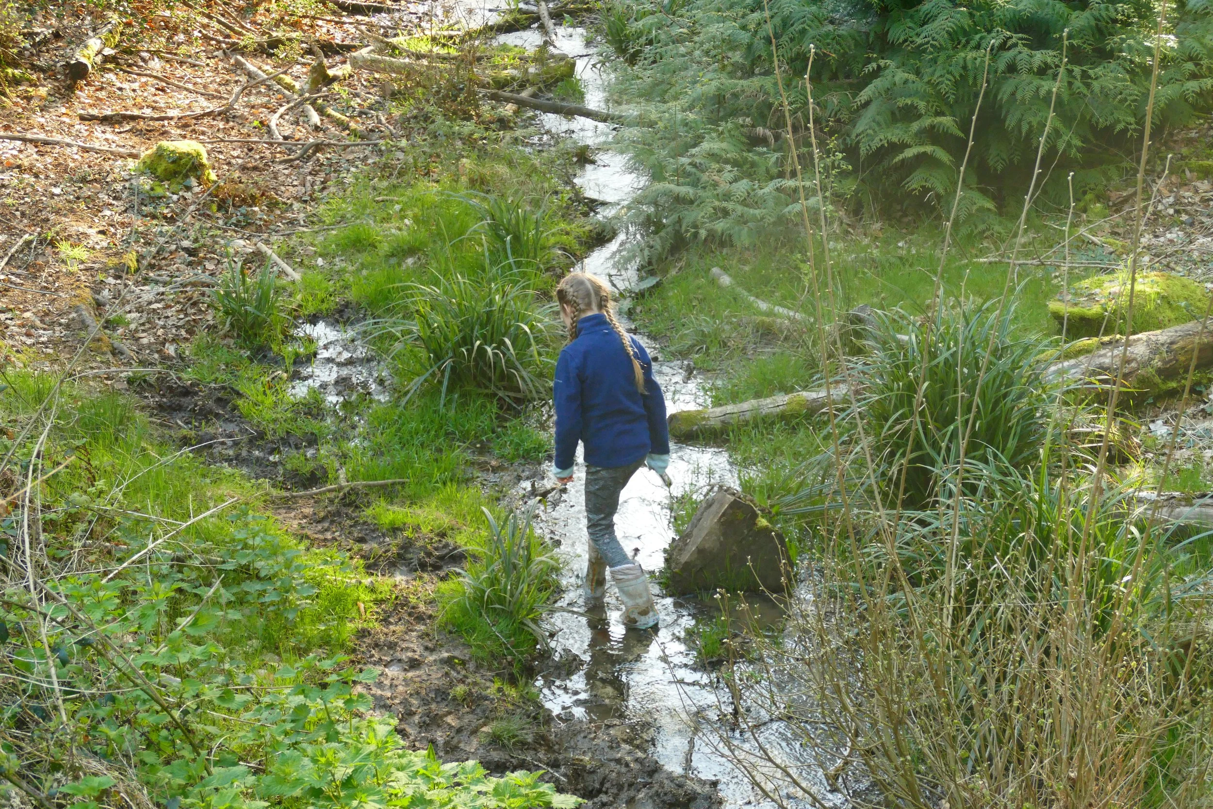
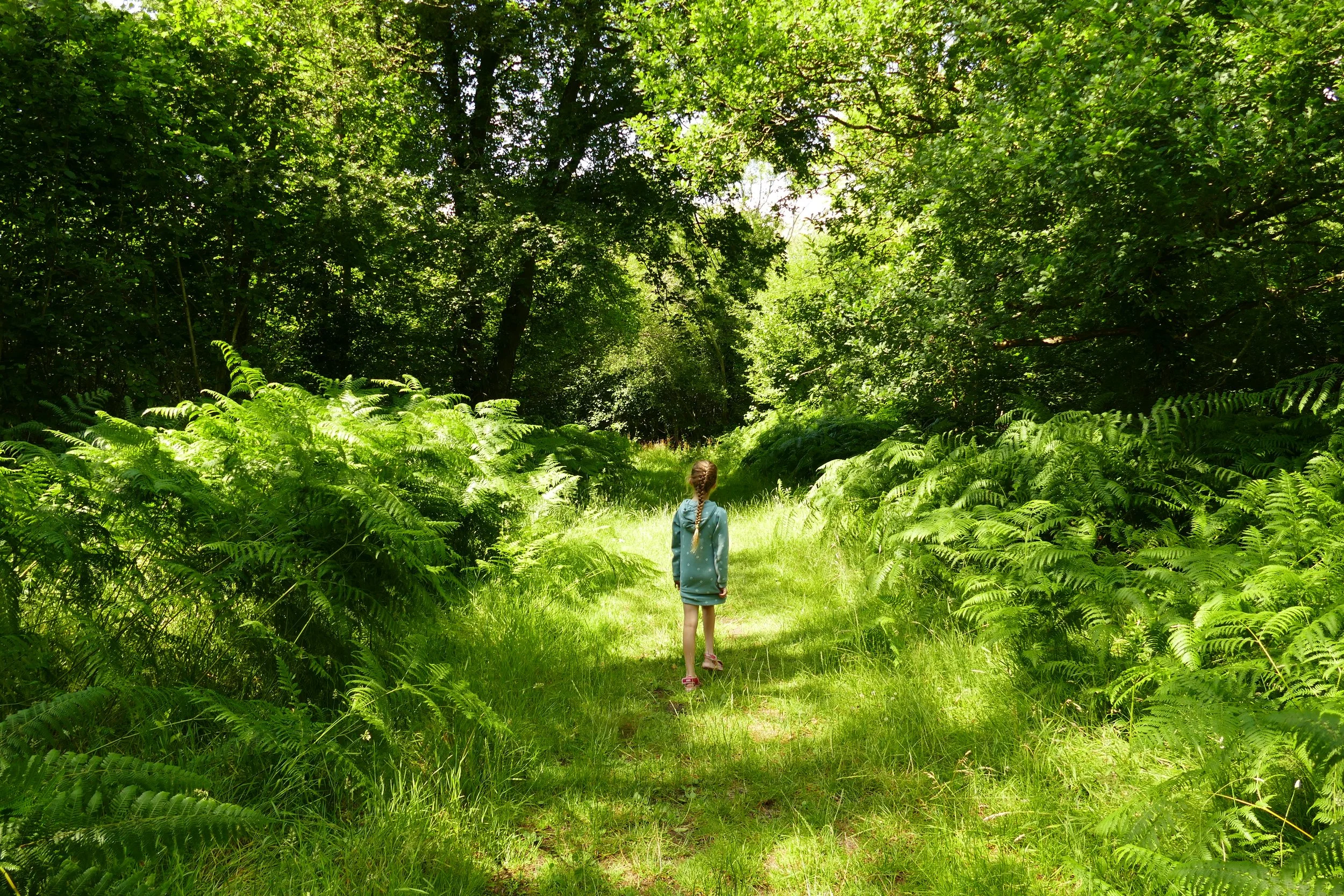
The bluebell walk heads into a wooded valley with a stream at the bottom
Stoke Park Wood is a mixture of newer trees and ancient woodland. The section of older trees has one of the most enchanting arrays of bluebells you will find, where the wildflowers tumble down a wooded valley to a stream. The rest of the year, expect to find wide, easy paths that are good for bikes and pushchairs too.
The Route
There are a number of routes your could take around these woodland, but you will see three marked on the map on the information board as you enter from the car park. None of the routes have markers on the paths, so it is worth taking a photo of the map or using ours below.
First listed is the bluebell walk, which is a short walk on rough terrain that passes the best bluebell area in the woodland.
The second route is a longer one that covers the majority of the site and follows well surfaced paths the whole way. It is worth noting for those with pushchairs that you will still see plenty of bluebells on this route too.
Finally, you will see a play trail walk on the map. But don’t get excited about this one. The play equipment was all removed a couple of years ago!
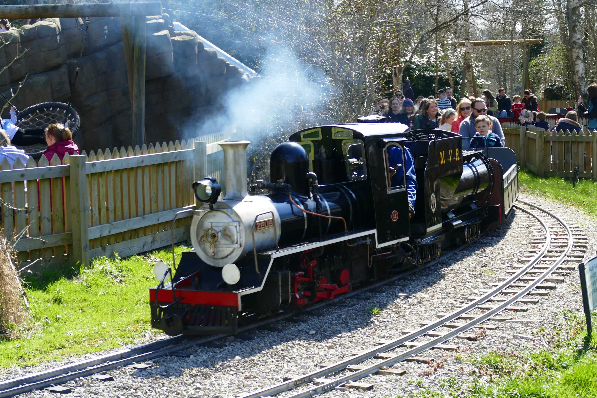
There may not be any play equipment here anymore, but there is something else that is really rather enticing for teens/adults. In the middle of the forest is Bike Park Bishopstoke. A free to use mountain bike track with ramps, bumps, dips, jumps etc all carved into the landscape (see first photo below). It is closed during winter - and still is as of April 2023 - but should be open for use when conditions dry up.
The whole of the second route below is multi use for walkers and cyclists, so this makes a really inviting place for those that enjoy bikes.
Bluebell Walk:
Begin by turning left along the path that starts between the bin and the information board.
When you come to a pair of gateposts on your left where a path exits the woodland, go right and then immediately left down the narrower path.
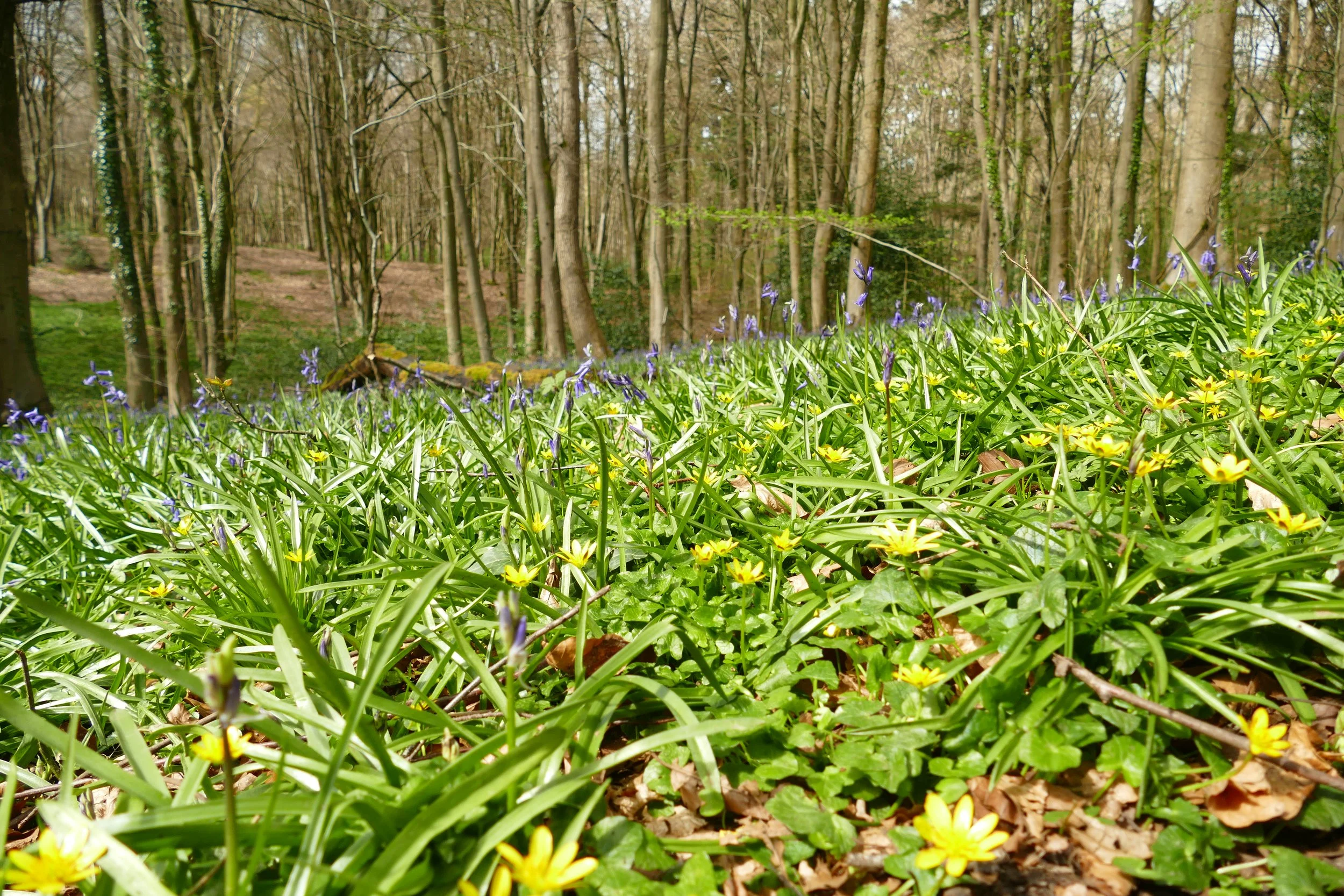
Head down into the woods with the perimeter of the woodland and houses just visible to your left. The path will soon take you down steps cut into the hillside and then a little wooden bridge over a stream at the bottom. It is from this point that you will really start to see the bluebells in late April/early May, as well as the yellow of lesser celandine.
Go up the other side of the gulley after the bridge and then turn right with the path. Walk with fields to your left and carpets of blue to your right. Ignore any small paths to your right and wait until you come to a junction with a wider, compacted path. Turn right here with conifers, bracken and brambles now making up the vegetation to your right and a series of dens to your left.
At the crossroads with a gavelled path, go straight ahead and follow the path all the way back down to the car park.
All Weather/Multi Use Walk:
Facing the information board, you will see three paths and you should take the one furthest to the right. The path will be straight and flat to begin with and will then bend to the right and drop slightly down hill. As it flattens out again, you will start to see a stream in a gully down to your right and the path will fork right here, taking a bend that almost doubles back on itself.
Now the path gradually drops down again until it comes to a grassy clearing with a bird bench in the middle of it. Continue straight here and ignore the paths to the left and right.
Continue along the gravelled path until you pass the bike track to your left. Just after the bike track you will come to a bench and a cross roads. You should take the middle path, sticking with the gravelled surface as it bends upwards to your left.
The path will be intersected by a series of paths, but you should always stick with the gravelled path until you hit a point where five paths converge. Turn left here, sticking once again with the main, gravelled path.
Where a number of paths once again converge at a noticeboard, you should keep right and take the right hand path. Ignore the next left and right paths and then at a crossroads marked with yellow arrows for the bridleways, you should turn left and head on the gravelled path straight down to the car park (If you are walking without a pushchair or bikes, you could turn right here and add on the bluebell loop).


Did you know?
Stoke Park Woods were saved from the threat of development after Eastleigh Borough Council proposed to build a significant number of houses and a road in the area that would have had a huge impact upon the nature of the site and other surrounding pockets of woodland.
If you enjoyed this walk…
…try this one just down the road at Itchen Valley Country Park, where you will find more bluebells
We are passionate about keeping The Ambling Path as a free resource available to everyone, forever. If you have enjoyed using our walking guides, then please consider leaving us a donation. This will help to cover our costs as well as rewarding the considerable time and effort needed to maintain the site. Thank you.
Follow us on social media to see our new walks and get regular updates on our old ones: