Odiham and King John’s Castle
Children will enjoy spotting ducks and boats on the canal, a canalside picnic area, a paddle in the ford and exploring the castle ruins on this walk.
King John's Castle is free to look around
The Basics
Time: 1 hr 30 mins
Distance: 5.4 km / 3.4 miles
Terrain: The outward leg is along flat tow paths, mostly even. The return leg is across fields and can be very muddy in winter (our suggestion is to return via towpath during wet winter months).
Pushchair: It won’t be the smoothest ride and expect a little bit of mud in winter, but most pushchairs should be ok along the towpath if you adpat the walk to a there and back again.
Dogs: Leads advisable due to wildlife and popularity of the path. Horses in fields on homeward leg.
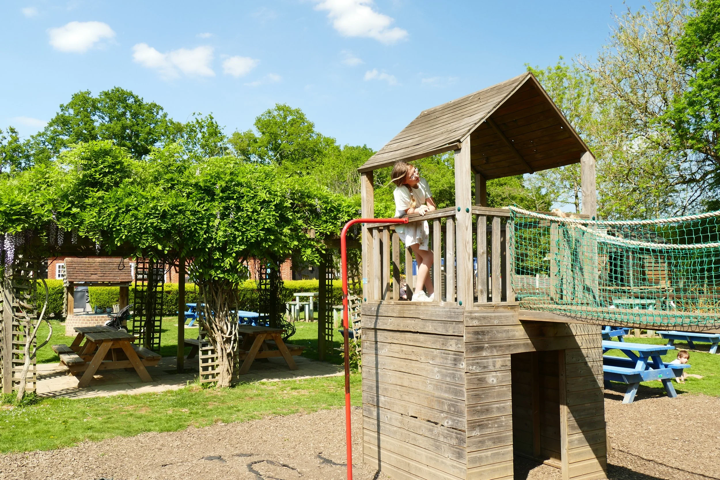
Refreshments: The Waterwitch is located at the start/finish and has a large and pretty garden running down to the canal. There are also lots of picnic benches in a wooded area at the start/finish beside the canal.
Toilets: There are no public toilets.
Public Transport: Stagecoach Route 13 from Basingstoke to Whitehill stops in Odiham centre, from where you can easily walk down to the wharf to start this walk.
Parking: Free car park at Odiham Wharf located at the end of Colt Hill (Postcode: RG29 1AL - W3W: ///fails.snares.ownership)
The garden of the Waterwitch is behind the fence
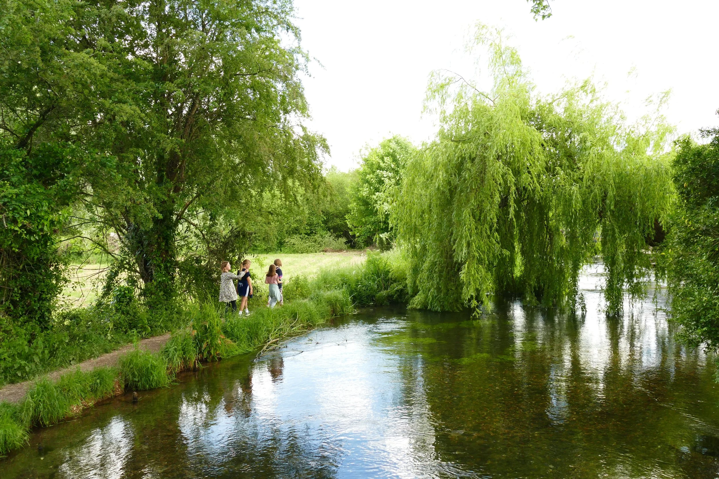
We have covered a few different walks at various points along the Baskingstoke Canal and each time we visit, it never fails to disappoint. You know you will be guaranteed flat paths, plenty of wildlife to spot, boats passing by, idyllic waterside cottages and bridges and tunnels to pass under. This walk has some added bonusses that include a waterside pub at the start/finish, a ford that makes a great place for a paddle and a short extension to one of Hampshire’s most iconic historic sites, King John’s Castle.
The Route
Head up towards the canal from the car park and when facing the water, turn right to join the towpath and walk under (or over) the bridge. For the whole of the outward leg of this walk you are going to stick to the towpath with the canal to your left. You will pass two bridges before eventually coming to the third which is quite different in appearance. With its white railings, Warnborough Lift Bridge is set beside some pretty cottages and ducks often gather here to be fed. You will see the signs to the castle here and should continue straight on.
As you approach the castle you will see a large green sign, signalling you into the castle grounds on your right. The ruin is free to enter and open all the time. There are lots of interpretation boards that will explain the interesting roles the lodging has played in British history.
When you have finished viewing the castle, return to the towpath and turn left to retrace your footsteps. We recommend looking out for the little yellow footpath marker that will appear at a gap in the hedge on your left very soon after leaving the castle. This path will cut diagonally across a grassy space before reaching Tunnel Lane. Turn left here to find a really pretty wide and shallow ford where children will enjoy a splash in their wellies. Both times we have been here we have also seen horse riders crossing the ford.
When you have finished at the ford, return up Tunnel Lane to the lift bridge. Don’t cross the bridge, but turn left and continue re-tracing your footsteps along the towpath.
Go under the next bridge again and this time, take the steps up to the road and go over the road bridge on the pavement. On the other side of the bridge, look out for the wooden footpath fingerpost taking you left and parallel to the canal on the opposite side to before. (IN WINTER THE FOLLOWING PATHS CAN BE VERY MUDDY. WE RECOMMEND RETURNING ALONG THE TOW PATH AFTER HEAVY RAIN AND ONLY COMPLETING THIS CIRCULAR SECTION IN DRY MONTHS).
The path on this side is narrower and will take you along the rear of various properties before curving up to the right. After this the path will bring you out into a field. These fields actually formed the original deer park that provided hunting for those staying at the castle. The footpath goes in an almost entirely straight line across these fields until it ends with a metal kissing gate in front of some houses back at Odiham.
Follow the gravelled access path back to Colt Hill. Turn left at the road and follow it back to the wharf, passing The Waterwitch on your way. You can also find the high street at the top of Colt Hill with plenty of other dining options. If you have never been to Odiham, then it is well worth the diversion being one of the most attractive towns in Hampshire with perfectly preserved historic homes and cottages lining the streets.
As a member, you gain instant access to all 185 PDF files. Members also benefit from special members-only discounts at some of our favourite pit-stops.
Did you know?
King John had the castle built between 1207 and 1214, possibly choosing this location due to its approximate mid point between Windsor and Winchester. It is thought King John rode out from the castle when he went to Runnymede to sign the Magna Carta.
If you liked this walk…
Try this one at Dogmersfield which is a little further down the Basingstoke Canal.
We are passionate about keeping The Ambling Path as a free resource available to everyone, forever. If you have enjoyed using our walking guides, then please consider leaving us a donation. This will help to cover our costs as well as rewarding the considerable time and effort needed to maintain the site. Thank you.


