Riverside Park
Southampton
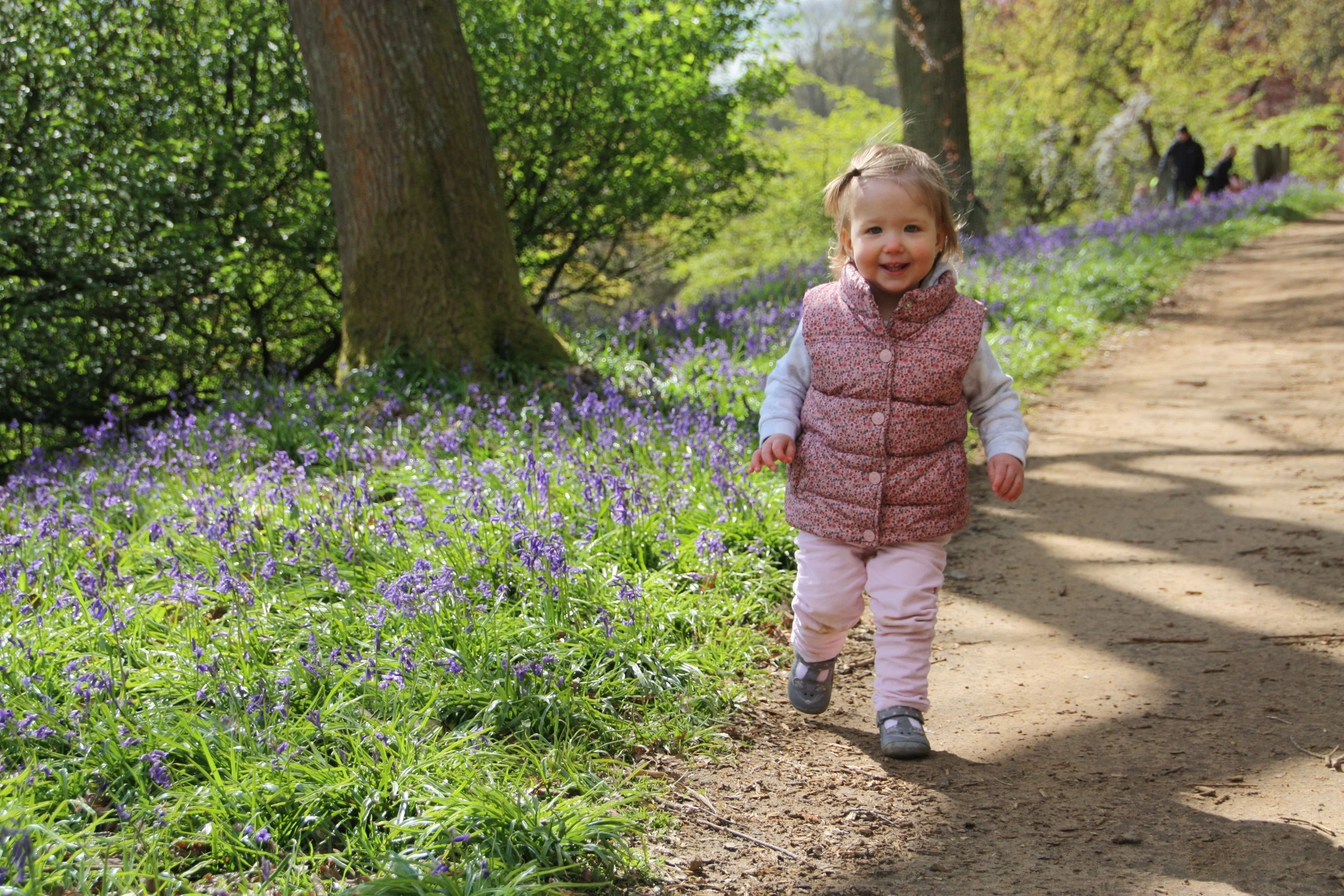
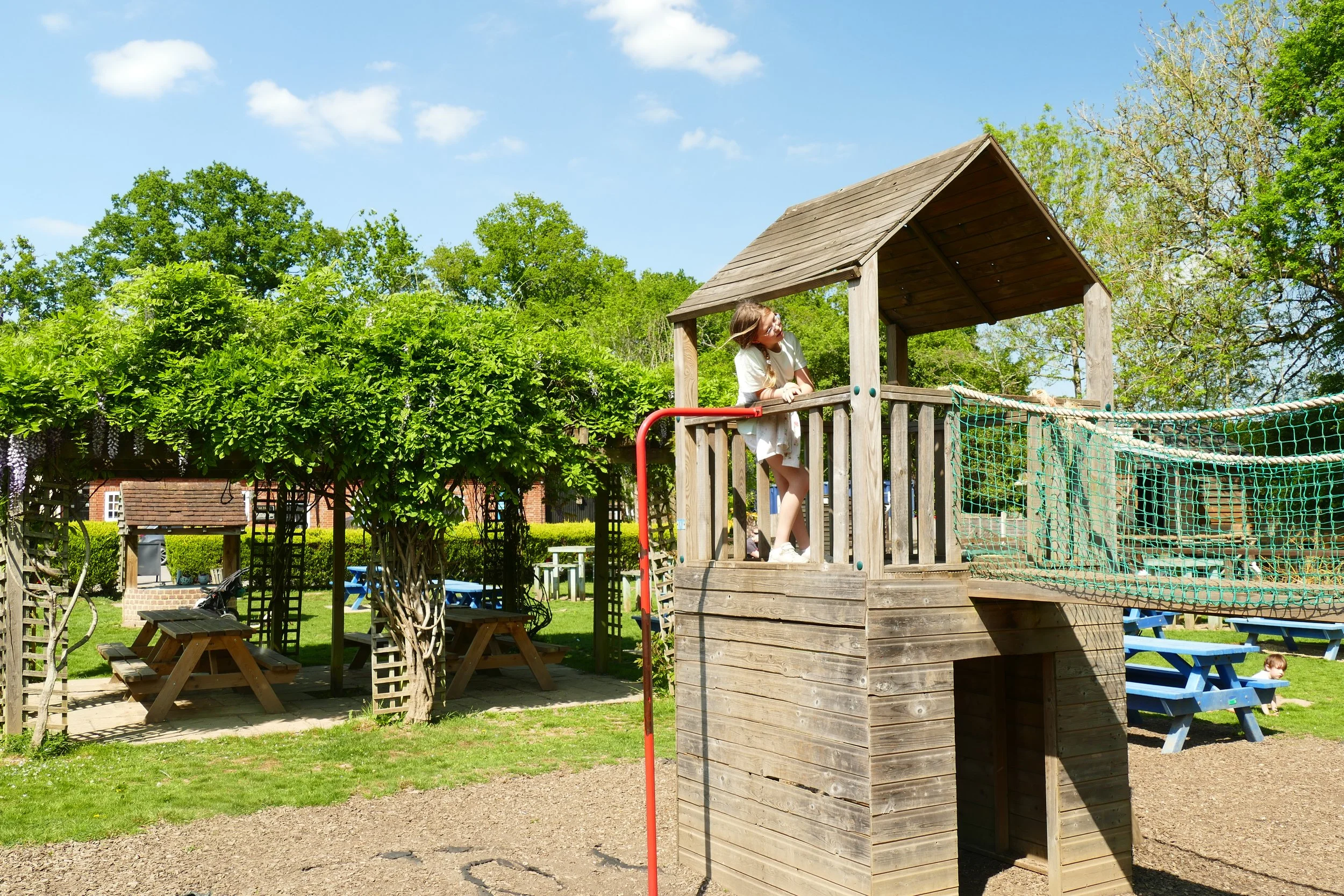
Children will enjoy the play areas, skate park and scooter/bike friendly paths on this walk.

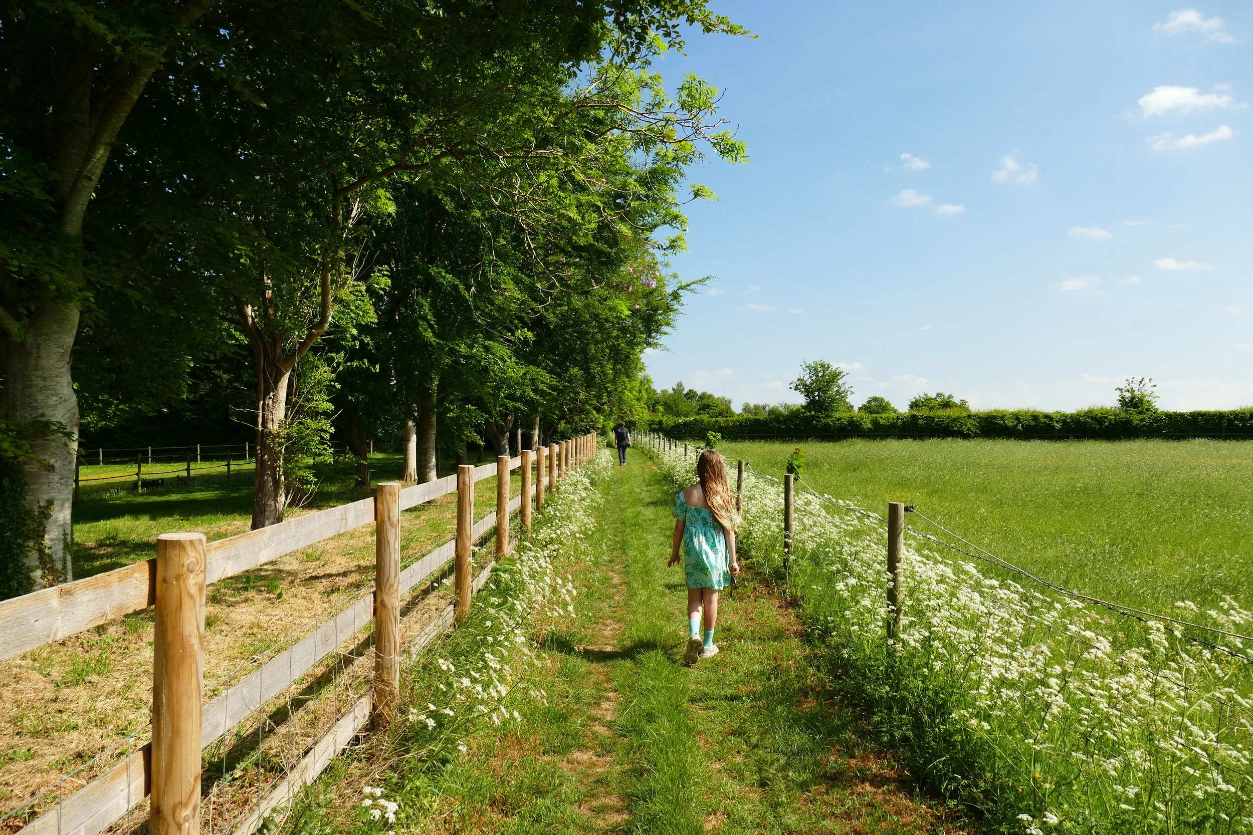
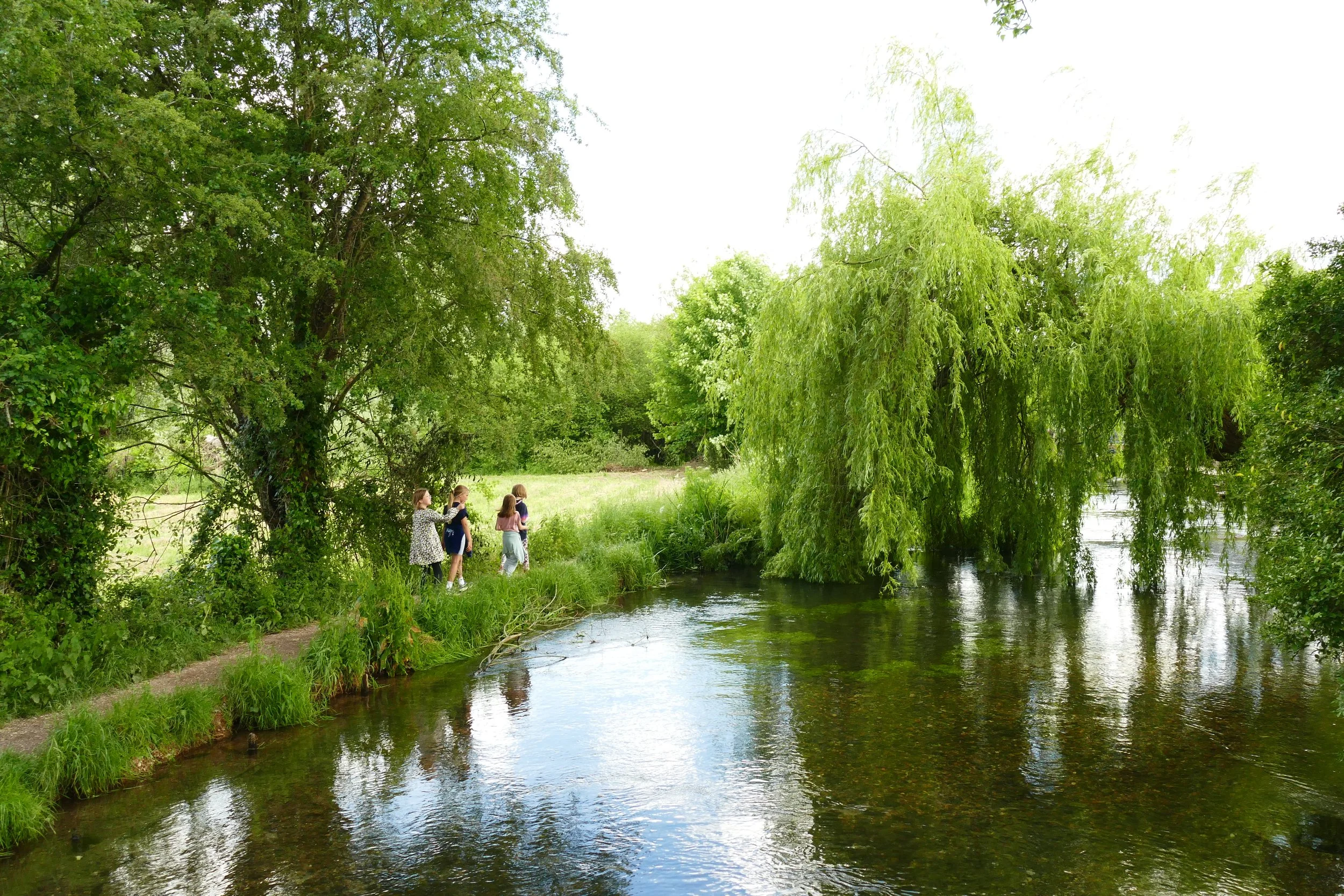
The Itchen runs through the length of the park
The Basics
Time: 35 minutes to walk from one end of the park at Cobden Bridge to the other at Mansfield Bridge
Distance: The park spans 2.3 km/1.4 miles from Mansfield Bridge to Cobden Bridge
Terrain: Flat, paved paths throughout.
Pushchair: This walk is suitable for pushchairs.
Dogs: Dogs are welcome but will need to be on leads due to it being a busy area.
Refreshments: Woodmill Coffee Kitchen overlooking the river at the Woodmill Activity Centre, ice-cream vans often in attendance and picnic benches scattered around. The White Swan pub can be reached by extending your walk upstream past Mansfield Bridge.
Toilets: There are toilets beside Cobden Bridge.
Public Transport: Various bus stops could be used to access the park including Bitterne Park Triangle and River Walk.
Parking: There are various free car parks along Manor Farm Road (Postcode: SO18 1NZ W3W: //afford.smiles.brings) and one on Woodmill Lane (Postcode: SO18 2JR - W3W: ///decreased.looked.fuels)

Cobden Bridge
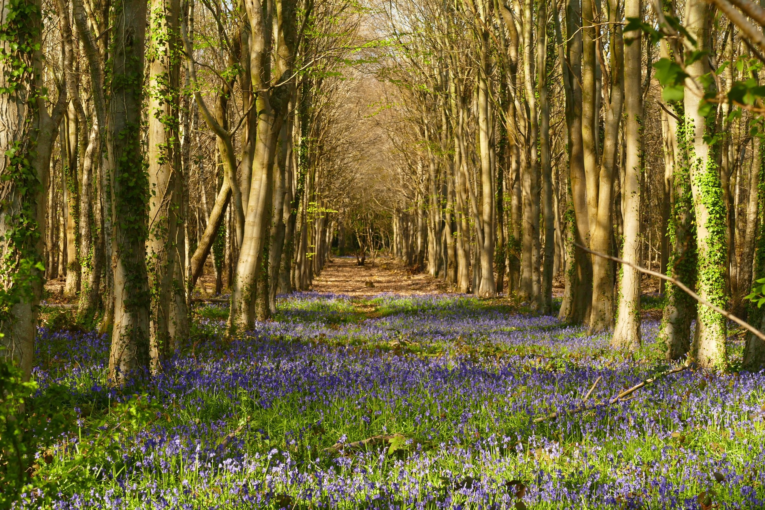
Riverside Park in Southampton marks the point where the River Itchen ends its journey to the sea. The upper part of the park has an attractive riverside path backed by trees and grassland. The lower reaches of the park are where the river becomes tidal and you will find a couple of play areas, skate park, bike training track, swans, ducks and a miniature steam railway. The paths are all flat and paved so anyone on wheels from wheelchairs to skateboards will enjoy this walk too!
The Route
Whichever car park you chose, if you head away from the road and towards the river, you will have two choices; turn left for the tidal saltwater estuary section of the river or right for the freshwater navigation section of the river. Our advice is to sample both!
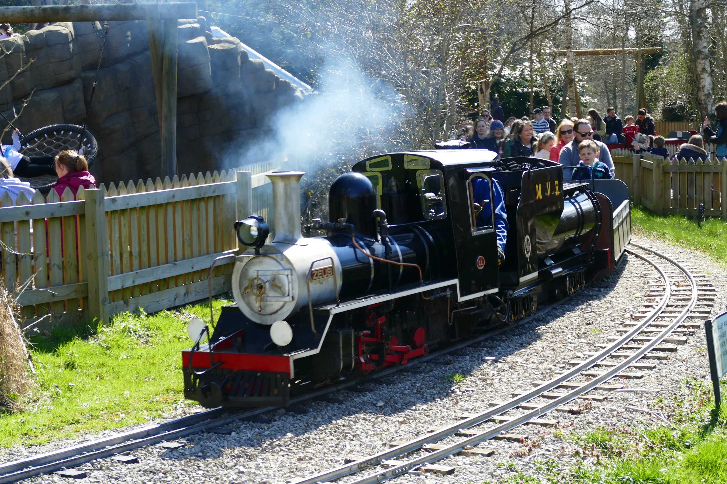
The tidal section of the river has large numbers of swans including black swans. There are two play areas to look out for; one is by Bitterne Park Primary School and the other further along beside Cobden Meadows. The latter is also next door to a miniature steam train run by enthusiasts (Sundays £1.50 for two laps). Further along is a cycle training track for youngsters. The park ends at the scenic Cobden Bridge.
The navigation section begins from Woodmill Lane. Just before this there is a MUGA, with basketball court and skate park. There is a coffee house at Woodmill Activity Centre. Over the road, the river takes on a wilder feel with a more natural landscape bordering the water. The old pitch and putt has been left to re-wild itself and this area makes an attractive place to walk and picnic. The park ends as you reach Mansbridge Road. You can continue walking past Mansbridge Road, upstream, to reach The White Swan pub, which does a carvery.
* There is a third play area marked on the maps behind the Woodmill Lane car park, but we found that nearly all of the play equipment has been removed from this.
As a member, you gain instant access to our complete PDF library of over 200 walks. Members also benefit from special discounts we arrange at some of our favourite pit-stops.


Did you know?
If you continue beyond Mansbridge, you can follow the Itchen Way to Itchen Valley Country Park, which is just beyond the M27. You could even continue and walk as far as Winchester along the navigation!

If you enjoyed this walk…
…try another park with a train at Eastleigh Lakeside Park
We are passionate about keeping The Ambling Path as a free resource available to everyone, forever. If you have enjoyed using our walking guides, then please consider leaving us a donation. This will help to cover our costs as well as rewarding the considerable time and effort needed to maintain the site. Thank you.
Follow us on social media to see our new walks and get regular updates on our old ones: