Cheriton
Children will enjoy the network of streams that flow through this picturesque village as well as the little play area directly on this walk.

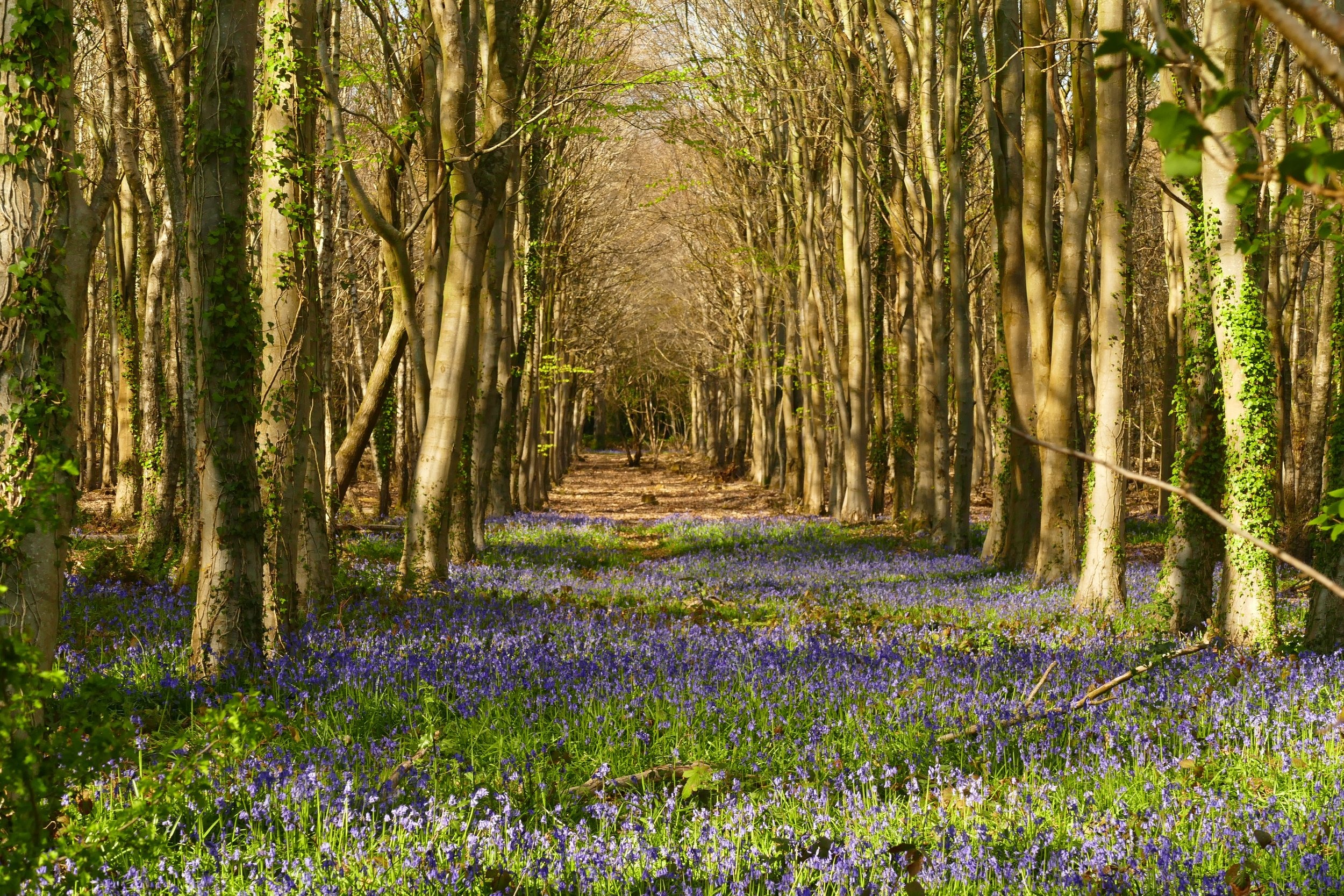
A young Itchen runs through Cheriton
The Basics
Time: 1hr 15mins
Distance: 4km
Terrain: Fields and small sections of road
Pushchair: No
Dogs: Yes, but will need to be on lead through pony paddocks
Refreshments: The Flower Pots Inn is not passed on this walk, but is a short drive away
Toilets: None
Public Transport: Stagecoach service 67 between Petersfield and Winchester stops in the centre of Cheriton
Parking: On roads around the village green (Postcode: SO24 0PX - W3W:channel.cattle.unopposed)

A little bridge in the village of Cheriton
The virgin waters of the River Itchen wind their way through the picturesque village of Cheriton. Follow them on this walk through the surrounding farmland.
The Route
From the village green, take the footpath up towards the church. Pass the church on your right and continue to the far side of the graveyard. Exit through the gate at the end and cross the paddock to the recreation ground on the other side.
Go through the gate and turn right up the narrow path running parallel to the play area. Follow the path up the hill along the right hand edge of the field. Turn left when reaching the opposite corner and continue following the edge of the field until a break in the hedge and a footpath sign takes you down to the lane.
Turn left to go up the lane and pass a house before taking the path on the right. Follow the grassy path which will open to a field. Keep the hedge to your right and at almost the far edge of the field, look out for a footpath on your right. It is a bit hard to spot, so look for the dead tree that has fallen on the boughs of another.
Walk along the top edge of the next field, looking out for the point where the path crosses diagonally down the hill. When reaching the hedge, enter the next field. Turn right and follow the edge of this field before turning right into the farm.
Exit the farm and cross the lane to find a path directly opposite. Cross over the river and turn right to cross the field when you see the finger post.
When you reach the lane, turn right onto the road before almost immediately turning right again. The lane crosses over the river just before the mill. Turn left and walk up the driveway of the mill, passing a garden to your right.
Enter another field with trees to your right and the river in view to the left. At the end of this field, you will begin to lose sight of the river and cross into some pony paddocks with a stile. The path will exit the paddocks, where you should cross the lane and enter the paddock opposite. This is actually the other side of the one where you started behind the church. You should be able to make out the graveyard and your route back to your car from here.


Did you know?
Cheriton is perhaps most famous for being close to the site of the English Civil War Battle of Cheriton in 1644.

If you liked this walk…
…why not try this one around Hinton Ampner which passes through the other side of Cheriton.
We are passionate about keeping The Ambling Path as a free resource available to everyone, forever. If you have enjoyed using our walking guides, then please consider leaving us a donation. This will help to cover our costs as well as rewarding the considerable time and effort needed to maintain the site. Thank you.