Alton
Children will enjoy the park on this walk and the viewing platforms and boardwalks of Flood Meadows.

King’s Pond is near to the town centre
The Basics
Time: 50 mins
Distance: 2 miles
Terrain: Pavements and flat footpaths
Pushchair: Yes
Dogs: Yes, but much of the walk is around town so they will need to be on leads
Refreshments: Plenty of options around Alton town centre or Acorns Coffee and Cake Kiosk in the park
Toilets: At the public gardens
Public Transport: This walk starts from Alton train station
Parking: We parked at the train station car park where charges apply. It may be possible to park for free on residential streets around, but we did not explore this option (Postcode: GU34 2PZ - W3W: litigate/tasks/fishery)

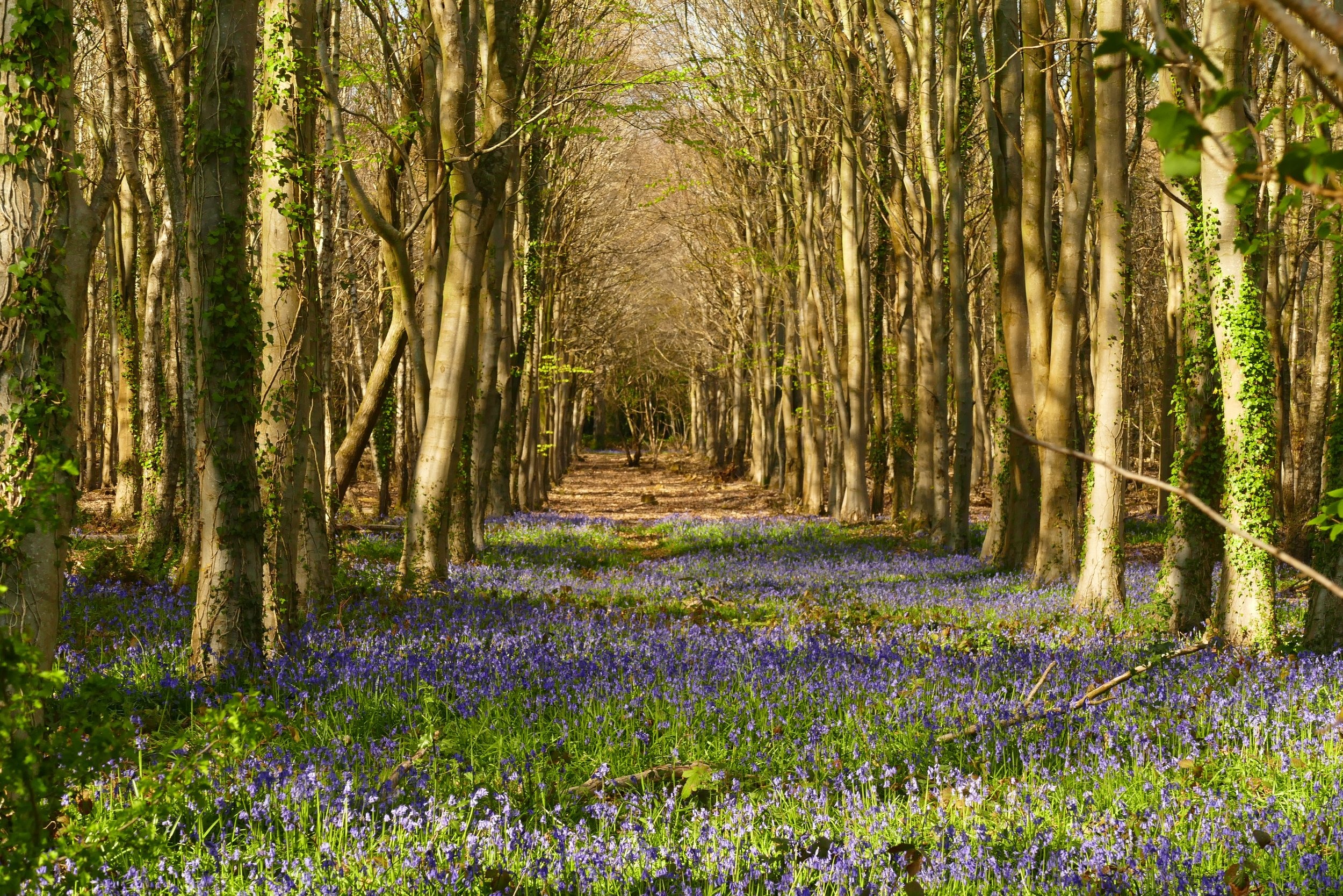
Floodwater Meadows
Slightly different from many of our countryside walks, this one follows the streets of the attractive town of Alton for much of the route before reaching the open riverside space of Flood Meadows. You will pass a large pond with ducks, the public gardens with a play area and coffee kiosk, lots of shops, cafes and pubs.
The Route
Standing in the car park and facing the train station, turn right and find the steps leading down to Paper Mill Lane. Cross the road and turn left to follow the pavement.
Look out for the golden post-box and turn right onto Waterside Court. Follow the road and at a T-junction go right and look for the footpath on your left signed ‘King’s Pond’.
At the pond, take the path going anti-clockwise around the edge. At the end of the pond, follow the path that exits onto Lower Turk Street and go under the railway bridge.
Here the walk passes by the site where the old brewery is being redeveloped. At the time of researching this walk in 2021 it was still a building site, but the plan is for the path to follow the river through the development.
At the end of Lower Turk Street, cross the busy road by the mini roundabout (with a central island) and and continue along Turk Street, before turning right at The High Street. Opposite you will see Loes Alley, which will take you to the Town Hall and Market Square. Cross the square to reach the public gardens and play area. There is plenty to keep children entertained here and it is a lovely spot to picnic, play or grab a refreshment from Acorns Coffee and Cake Kiosk.
With the play area to your left and the kiosk to your right, cross to the other side of the gardens and exit onto Westbrooke Road. Turn right, and then left when meeting Lenton Street. As the houses thin out, you will see a sign on your right for the footpath into Flood Meadows.
Cross over the stream and then turn right along the path with the water to your right. There are some walkways over the river here to enjoy and various waterfowl. There are also a couple of beautifully carved picnic benches.
Continue along the path to exit along Tanhouse Lane. Turn right at the end onto Amery Hill, then turn left onto Vicarage Hill by the community centre. After The Bank car park, turn down Baker’s Alley and exit by The Baker’s Arms.
Cross the High Street and enter The Wey Walk beside the river and head onto Dryman’s Way. Turn right along Dryman’s Way and then take a left to get back onto Lower Turk Street. Retrace your steps from here to King’s Pond, following the path on the other side this time to vary the walk back to the station.


Did you know?
This walk follows Tanhouse Lane where sweet Fanny Adams lived who became notorious after her brutal murder in 1867 at just eight-years-old.

If you enjoyed this walk…
…try this one in the nearby village of Holybourne
We are passionate about keeping The Ambling Path as a free resource available to everyone, forever. If you have enjoyed using our walking guides, then please consider leaving us a donation. This will help to cover our costs as well as rewarding the considerable time and effort needed to maintain the site. Thank you.
Follow us on social media to see our new walks and get regular updates on our old ones: