Emsworth to Langstone
Children will enjoy playing along the shoreline, looking our for boats, crabbing and getting an ice-cream on this walk.

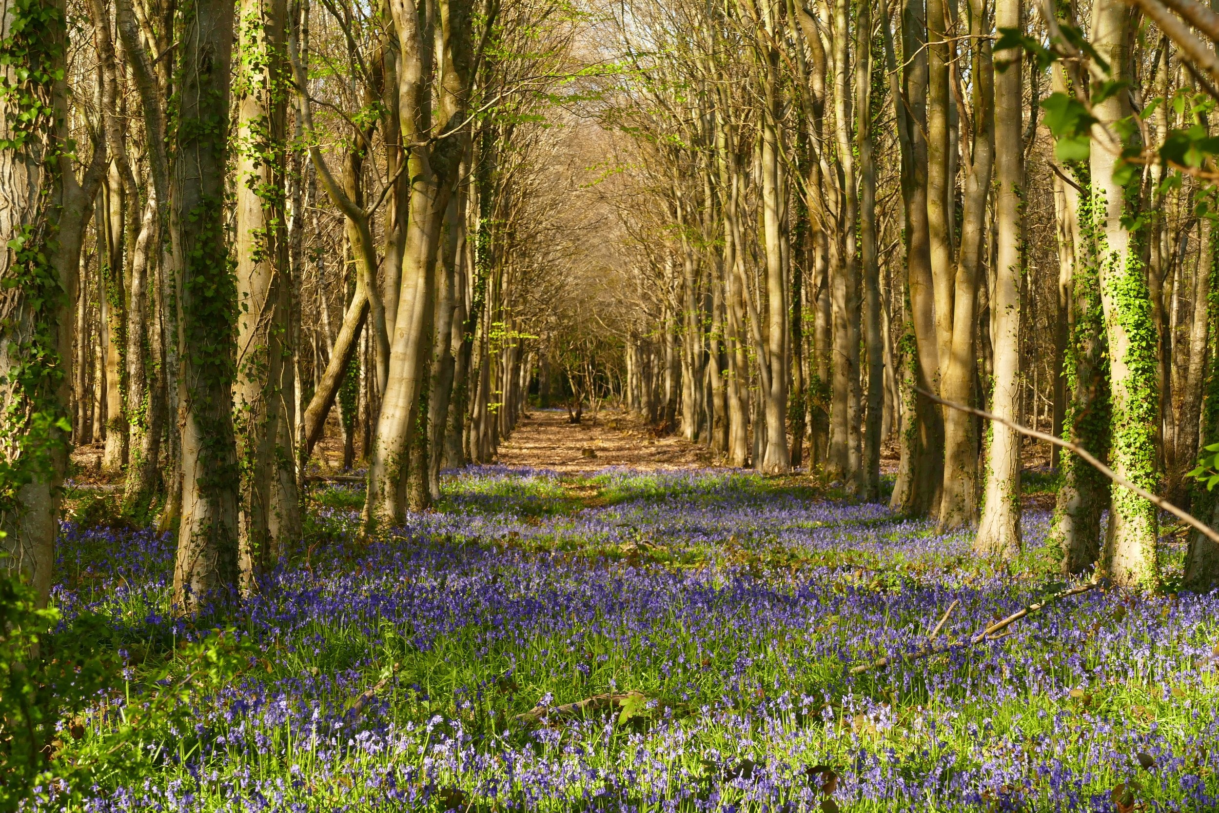
Beautiful views from the footpath of Chichester Harbour National Landscape
The Basics
Time: One hour each way
Distance: 4 km / 2.5 miles each way
Terrain: Flat paths that aren’t always even, lots of kissing gates, meadows. The shoreline sections of this walk are only possible at LOW TIDE - please check tide times here.
Pushchair: A pushchair would not make it past Nore Barn Woods and through Warblington Cemetery. In the past, we have managed a pushchair as far as Nore Barn Woods from Emsworth and as far as the meadow from Langstone.
Dogs: Dogs are welcome on this walk, but be mindful of swans and other waterfowl.
Refreshments: Ice-creams from Flintstones Tea Room in Emsworth or two pubs at Langstone, The Royal Oak or The Ship Inn.
Toilets: At the car park in Emsworth and adjacent to The Ship Inn in Langstone.
Public Transport: It is a 15 minute walk from Emsworth train station to the mill pond where this walk begins, or start the walk at Langstone where the Stagecoach routes 30 and 31 from Havant stop at The Ship Inn.
Parking: Pay and Display car park on South Street, Emsworth (Postcode: PO10 7EG - W3W: ///sun.pots.pillow). You could also park at Langstone Harbour - currently free with plans to introduce charges (Postcode: PO9 1RD - W3W: ///tiles.audit.gums)

The old mill at Langstone appears in many photographs
This coastal walk connects two of the most picture postcard harbours in Hampshire. With options for pubs along the way and plenty of opportunities for seashore explorations, this is a delightful family walk.
The Route
Our description begins in Emsworth, but it would be very easy to reverse the route and start in Langstone.
Exit the car park and head down South Street towards the quay. You will pass Flintstones on your right in an old flint building. and then the Slipper Sailing Club. Follow the promenade out to the millpond, then walk along the causeway with the harbour on your left and the millpond to your right. There are some good crabbing opportunities here if you fancy stopping.
After the causeway bends right, pass through the yacht club and then continue on the other side on the narrow path above the shoreline, passing the yachts and dinghies stored on your right, and then a series of residential properties with large gardens. The seawater will be to your left.
Continue forward on this path, passing all the houses and road endings until the path drops down to the shoreline where a stream meets the sea. Ahead you will see Nore Barn Woods and away to your left a picnic bench at Conigar Point. If you want to attempt the low tide circuit, take the path to the left of the woods, hugging the shore. If you don’t want to risk the tides, you will want to take the right-hand path, on the right-hand edge of the woods to make sure you stay dry! Only attempt the low tide route if the tide is a long way out as at some points it is not possible to exit from the shoreline, meaning there is potential to become stranded.
If you do took the low tide route along the shore, continue hugging the shoreline the whole way and after rounding a corner the black mill of Langstone will come into view and you can continue along the shore towards this as your target.
If you took the route through Nore Barn Woods, follow the path along the top edge of the woods with fields visible to your right and the trees to your left. At the end of the woods, exit through a gate, cross over a little stream and then walk through a field towards a kissing gate at the other side (you may encounter cows in this field). Walk through the next field in a straight line with the hedge to your left. Exit through the black metal kissing gate and walk with fields either side as the path narrows. Go through the next black metal kissing gate and walk along the straight path with trees on either side and the gravestones of Warblington Cemetery behind them. Pass the church on your right. Go through another black gate, cross the access track and then enter the older part of the cemetery through an old iron kissing gate and continue forwards. Turn left at the footpath finger post, and then as you walk down this far-side of the cemetery, you should spot the footpath exiting into a field on your right. Diagonally cross the field toward the kissing gate on the other side. Exit the field onto the coastal path and at this point, you should see the black building of Langstone Mill and should veer right towards this.
The coastal path will soon bring you down onto the shore where both route options meet again. The next section of path is not passable during high tide and for this part, there are no alternatives. Cross the shingle and then re-join the path on the other side. You will pass Langstone Mill Pond on your right before arriving at the mill, pubs and quayside.
Retrace your steps either along the shore, or through the cemetery and woods to return.
As a member, you gain instant access to all 120 PDF files in our PDF library. You also get a digital membership card that allows you to benefit from special members-only discounts at some of our favourite pit-stops on the walks.


Did you know?
Langstone mill is now a private residence, but was a working mill up until World War One. The black tower, covered in tar to protect it from the harsh sea elements, was once a windmill. The rest of the building would have had two huge wheels, powered by the creek and tide. Barges would come up to the mill and carry the goods away to the coast.

If you enjoyed this walk…
…try The Hayling Billy Trail as it leaves from the other side of Langstone Harbour
We are passionate about keeping The Ambling Path as a free resource available to everyone, forever. If you have enjoyed using our walking guides, then please consider leaving us a donation. This will help to cover our costs as well as rewarding the considerable time and effort needed to maintain the site. Thank you.
Follow us on social media to see our new walks and get regular updates on our old ones: