Winchfield
Fleet
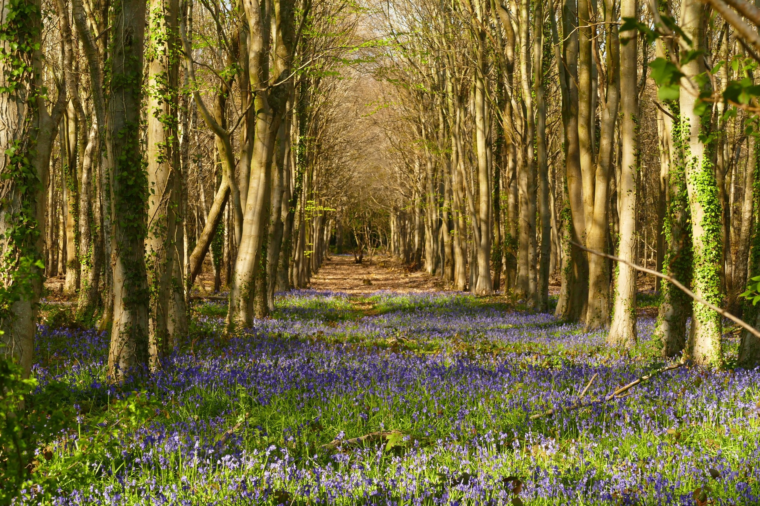
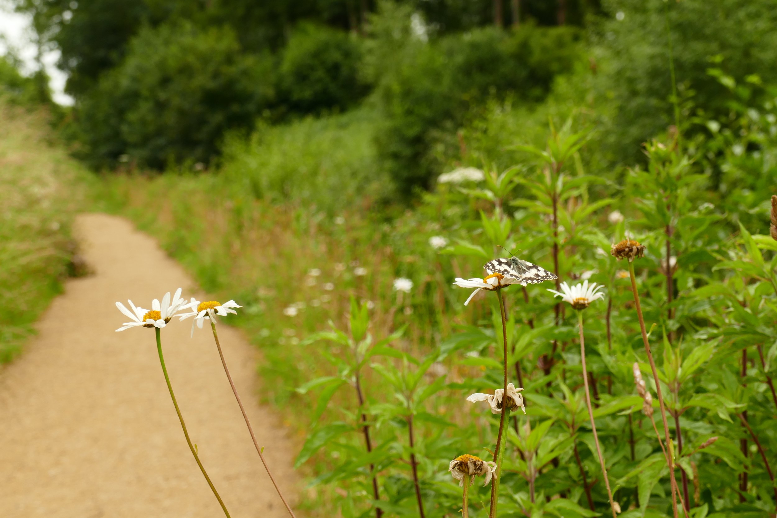
Children will enjoy watching boats and birds on the water and lots of bridges to go over and under on this walk.
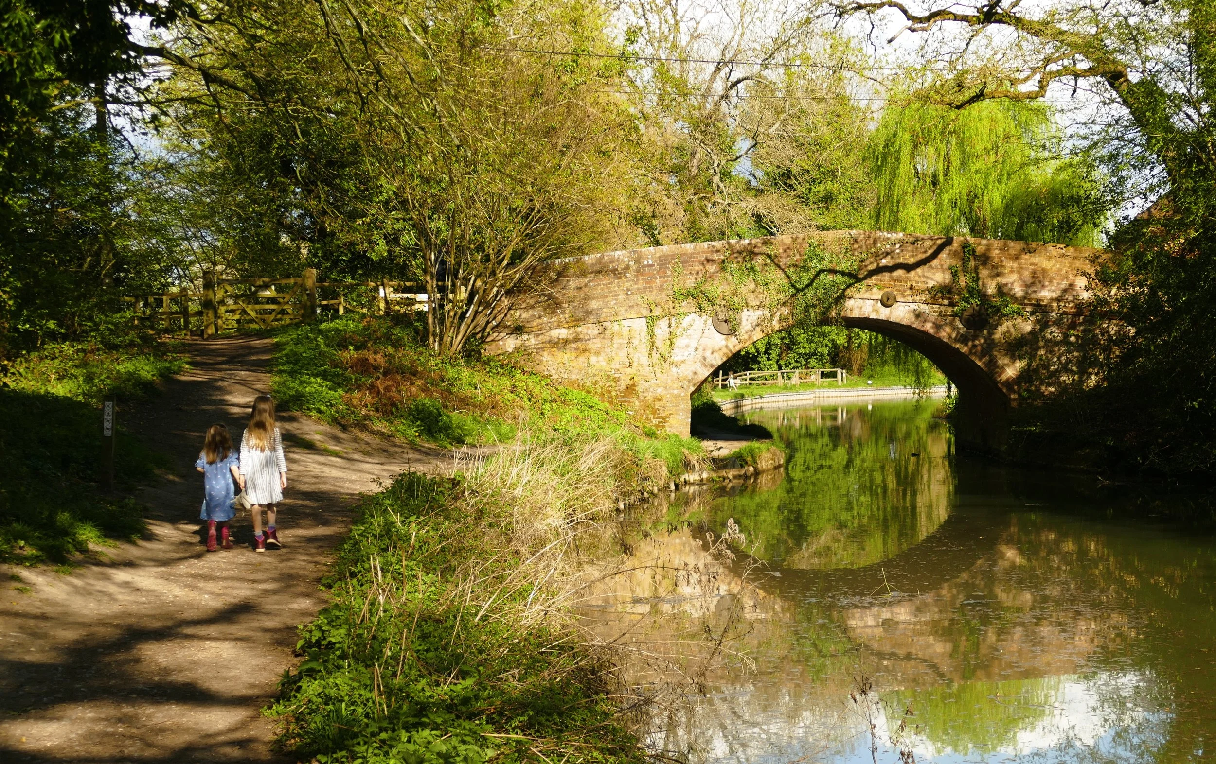
Barley Mow Bridge
The Basics
Time: 1 hr 25 mins
Distance: 5.3 km / 3.3 miles
Terrain: Well surfaced paths most of the way and all flat.
Pushchair: The whole route could be passable with a pushchair, but for one kissing gate with a couple of steps about half way around. For the determined, you could probably find a way to negotiate this.
Dogs: Dogs are welcome on this walk, but must be on leads through sections of private land.
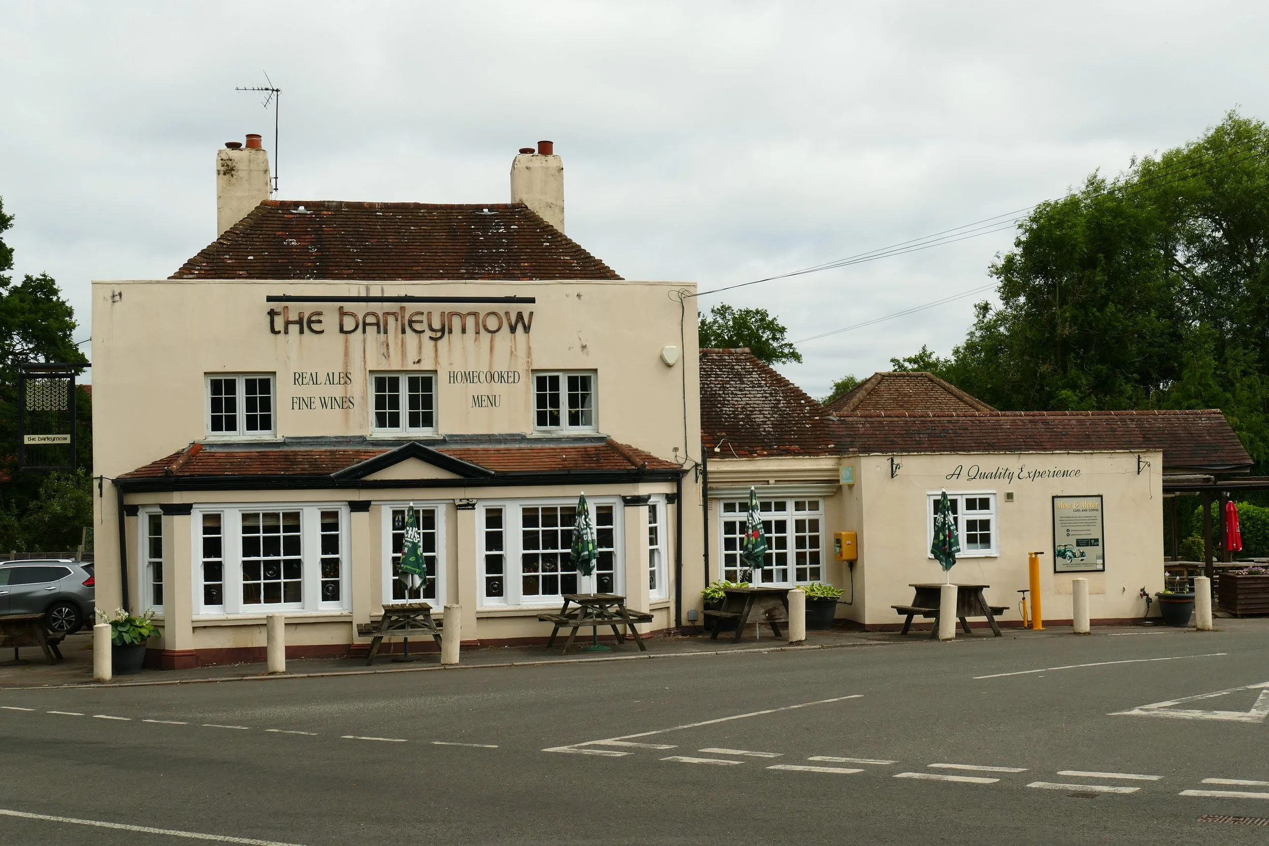
Refreshments: The Barley Mow, Winchfield is near the car park.
Toilets: There are no public toilets on this walk.
Public Transport: There is no public transport to this location.
Parking: Barley Mow Slipway Car Park, Sprat’s Hatch Lane - free, closes 8pm in summer and 6pm in winter (Postcode: RG27 8ZY - W3W: ///hiked.exposing.resorting)
A bridge beside the Barley Mow slipway
The restored Basingstoke Canal is a beautiful place to walk or navigate and is a haven for wildlife and rich in history. This walk takes you around one of the most attractive sections between Dogmersfield and Winchfield and includes a stop at the pretty Tundry Pond.
The Route
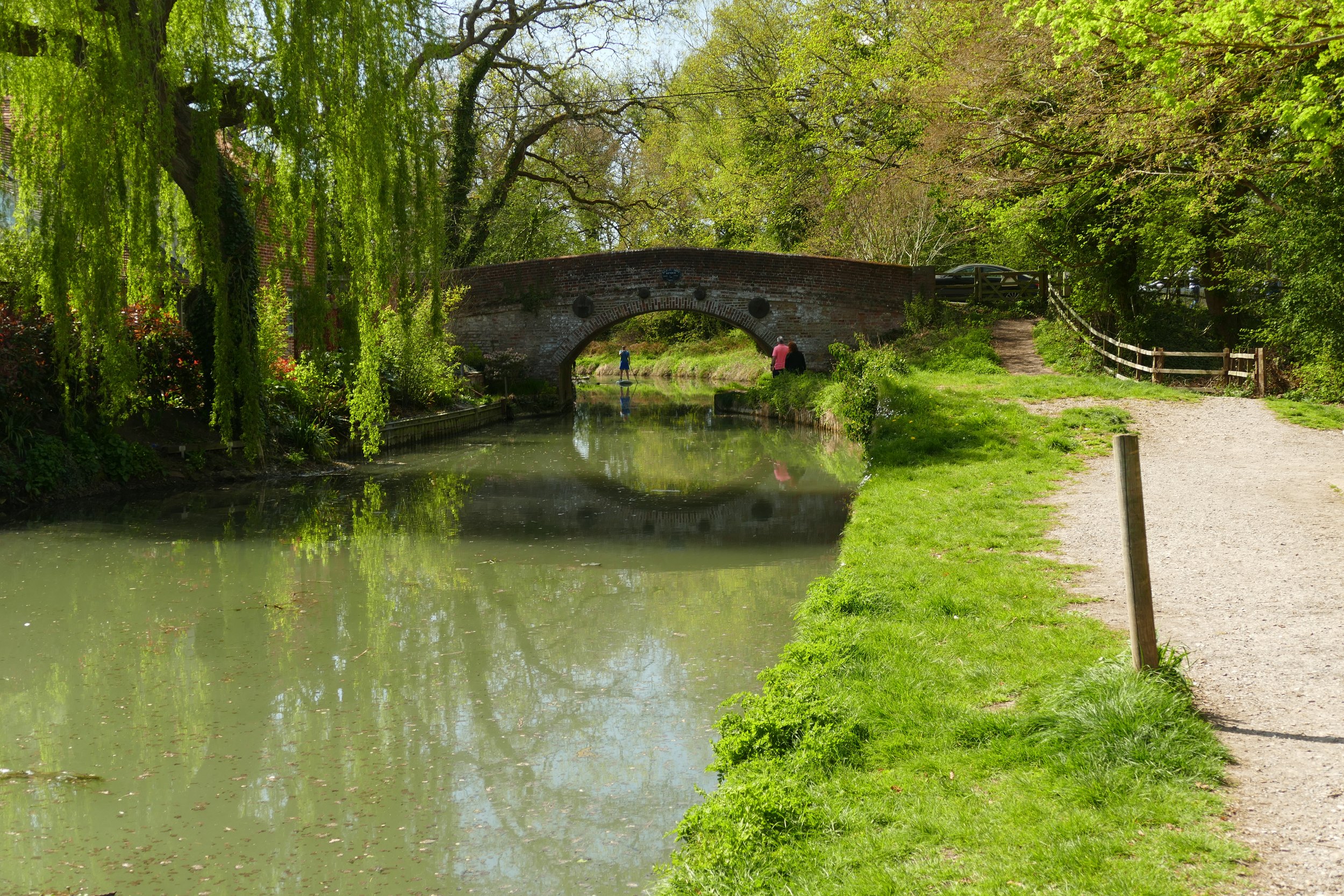
Begin the walk by joining the canal at the Barley Mow Slipway. Turn left and walk along the tow path in the opposite direction to the bridge, with the water to your right. For the first leg of this walk, just stick to the tow path.
The first bridge you will reach in this direction is Blacksmith’s Bridge. Cross the brick bridge and leave the canal. Go through the white gate on the other side and then turn right, heading towards Tundry Pond. Turn left at the pond and follow the path along the side of it. The pond is private so activities such as dog swimming or picnicking is not allowed.
At the private bridge at the end of the pond, turn left through the metal kissing gate onto the wide, gravelled path Where the gravel gives way to tarmac, turn right. Take the first path that appears on your right, going in a straight line between fences on a tarmac track. As you approach the big black gates, signs will direct you to the right.
At the end of this path is the kissing gate with steps as mentioned above. Pushchairs will either need to negotiate this or turn back. Turn left after the gate and follow the lane as it bends and then passes some pony paddocks. The beauty of the walk is that owing to a bend in the canal’s route, you will soon magically find yourself at Sprat’s Hatch Bridge back at the canal!
Cross the bridge and then turn right to walk along the tow path. The initial hundred metres or so were a little overgrown on my last visit, so pushchairs will find this narrow, but it does improve further along. Follow the tow path with the canal on your right all the way back to the slipway and car park.
As a member, you gain instant access to all 120 PDF files in our PDF library. You also get a digital membership card that allows you to benefit from special members-only discounts at some of our favourite pit-stops on the walks.


Did you know?
The canal began in Basingstoke and travelled all the way to Byfleet where it connected to the Wey Navigation. This, in turn, led to the River Thames at Weybridge, allowing boats to travel from the docks in East London to Basingstoke.

If you liked this walk…
…try this one from The Basingstoke Canal Centre at Mytchett which also runs parallel to the canal and has a visitor centre with more information on the canal.
We are passionate about keeping The Ambling Path as a free resource available to everyone, forever. If you have enjoyed using our walking guides, then please consider leaving us a donation. This will help to cover our costs as well as rewarding the considerable time and effort needed to maintain the site. Thank you.
Follow us on social media to see our new walks and get regular updates on our old ones: