Devil’s Punchbowl
Hindhead
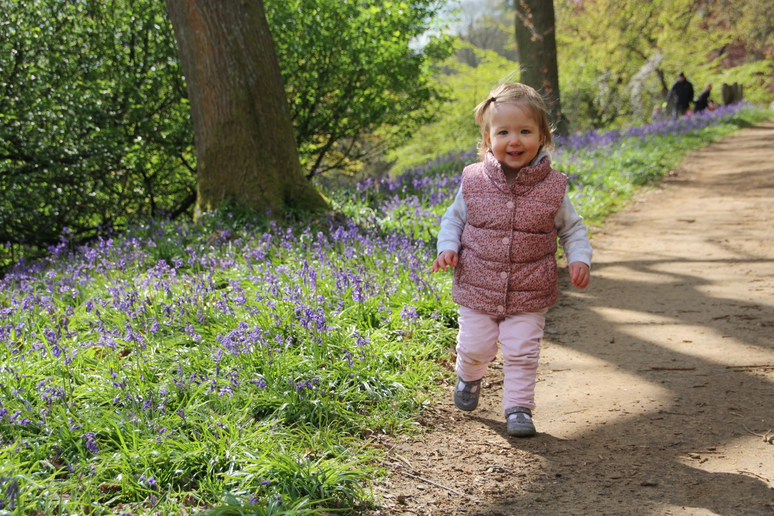
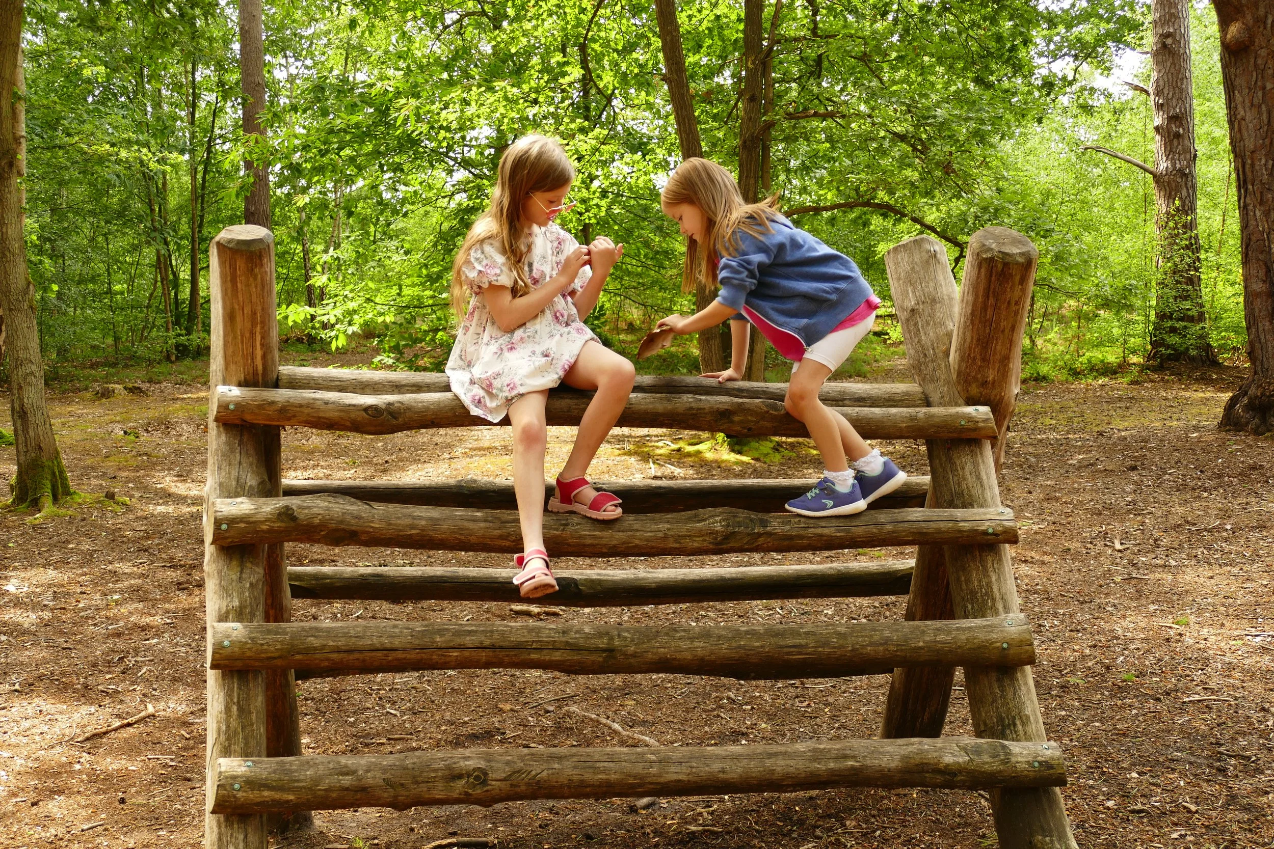
Children will enjoy the play area made from natural materials, interesting history and a picnic with a view on this walk.

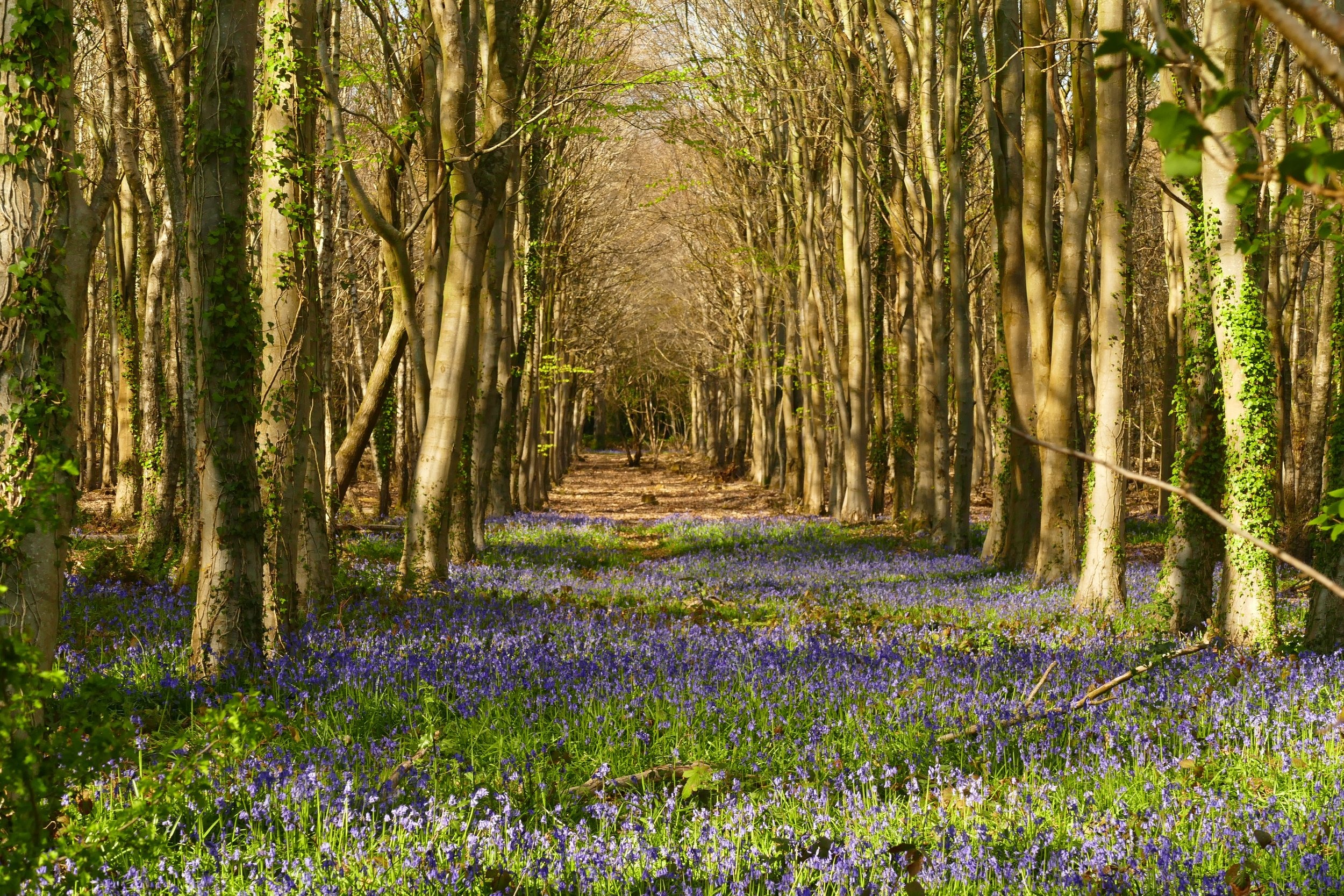
It is definitely worth stopping for a moment to enjoy the views
The Basics
Time: 1 hour
Distance: 3.5 km / 2.2 miles
Terrain: The outward leg is on a firm flat path. The return leg is on a flat tarmac path.
Pushchair: This route is suitable for pushchairs.
Dogs: Dogs are welcome on this walk.
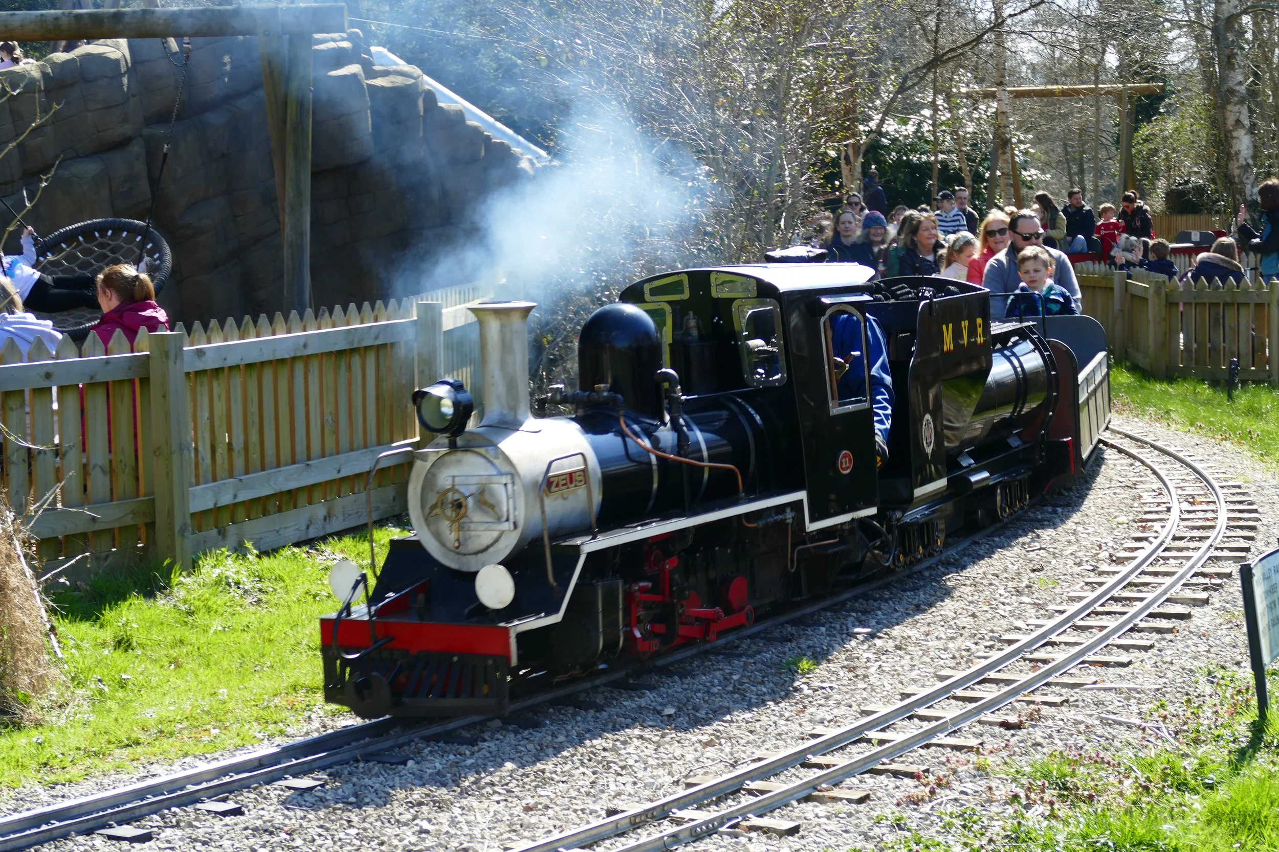
Refreshments: National Trust café , The Devil’s Punchbowl Hotel , Jude’s Ice-cream kiosk (open weekends and school holidays) and plenty of picnic tables.
Toilets: There are toilets at the visitor centre.
Public Transport: Use Stagecoach service 23 from Liphook to Haslemere, alight at Crossroads in Hindhead where it is a short walk to the start of this walk.
Parking: Large National Trust car park, free for members or charges apply, coins or PayByPhone App (we paid £4 for up to four hours) (Postcode: GU26 6AG - W3W: ///iterative.scarred.loafer)

The views go on for miles!
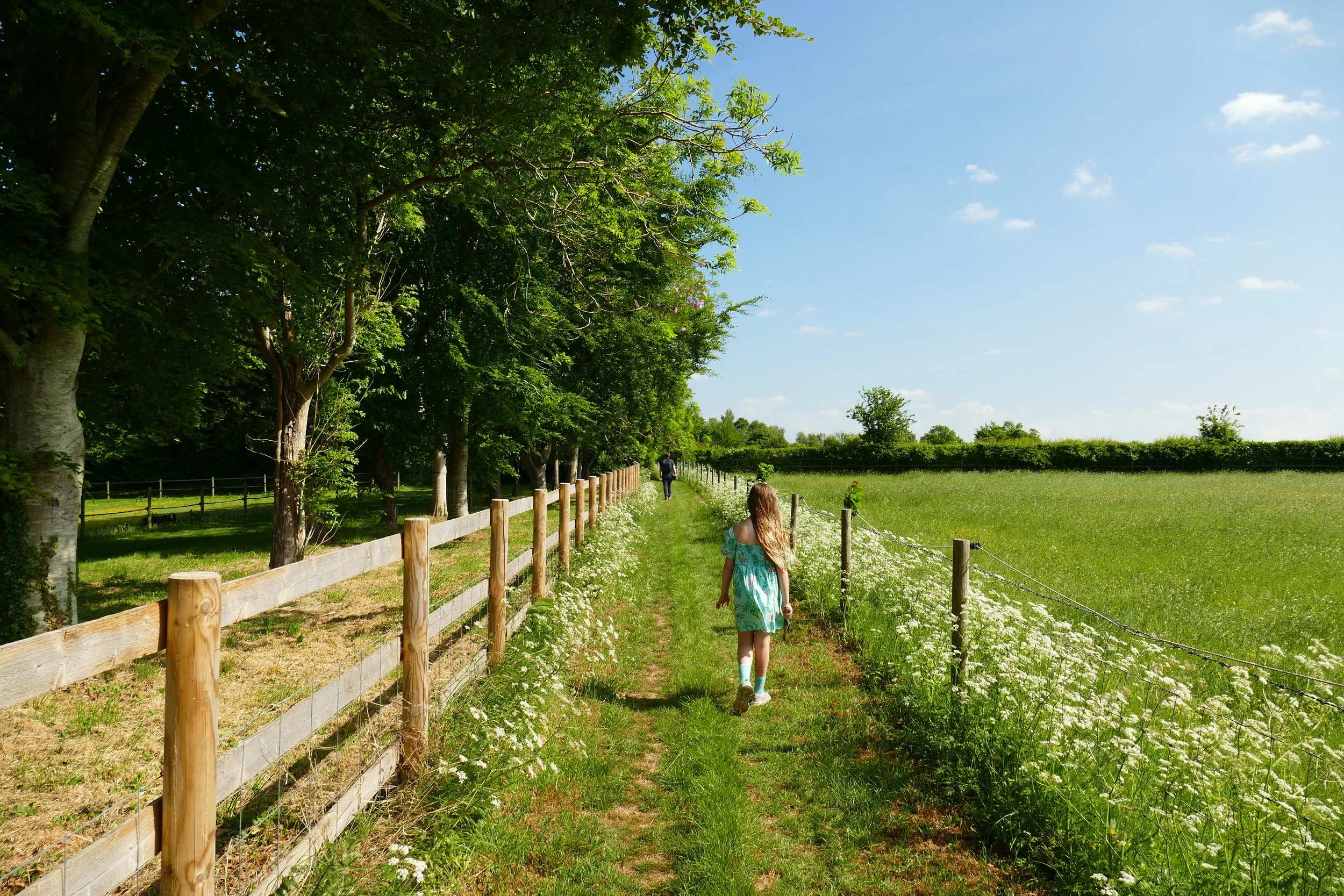
Our family friendly route follows the Old A3 Trail, which is on all-weather prepared paths. It skirts around the rim of the huge natural bowl, where you can enjoy marvellous views across Surrey. It returns along a wooded path where there are some interesting historical features to discover.
We also have a second walk which can be found at the bottom of this page. This one is more challenging with some steep slopes as it dips down into the bottom of the wooded bowl, passing over streams and by some beautiful trees.
Both walks will start and finish a the café/picnic/play area.
The Easy Route
There are a selection of walks to chose from that are detailed on the notice boards. We chose the Old A3 Trail as it is flat and suitable for pushchairs. The walk begins from the car park and you should look for the main compacted path leading you out along the rim of the punchbowl. The path is bordered by grass and you should see a large stone sculpture in the middle of the path soon after you begin.
Stay on this path for the whole of the outward leg of the circuit. There will be various benches and viewpoints to enjoy along the way. Information boards detail how this path was the original route of the A3 before the tunnel was built.
When you arrive at a gate across the path, turn and go up the path on your right to reach a tarmac track. Turn right and follow this all the way back to the car park.
There are more benches and viewpoints along this route and some interesting historical references to look out for. We highly recommend taking the brief diversion to the left when you see the gate and sign for Gibbet Hill. Information boards will tell you the haunting tale of three men who were hung here for murdering a sailor. My children enjoyed the story and the views are fantastic.
Back on the original path, you will soon see a carved stone, commemorating the incident described above. Also along this section, look out for a metal disc in the middle of the path alerting you to the fact that you are stood 65 metres above the traffic roaring through the Hindhead Tunnel. Given the tranquillity and beauty of the spot, it is hard to comprehend!
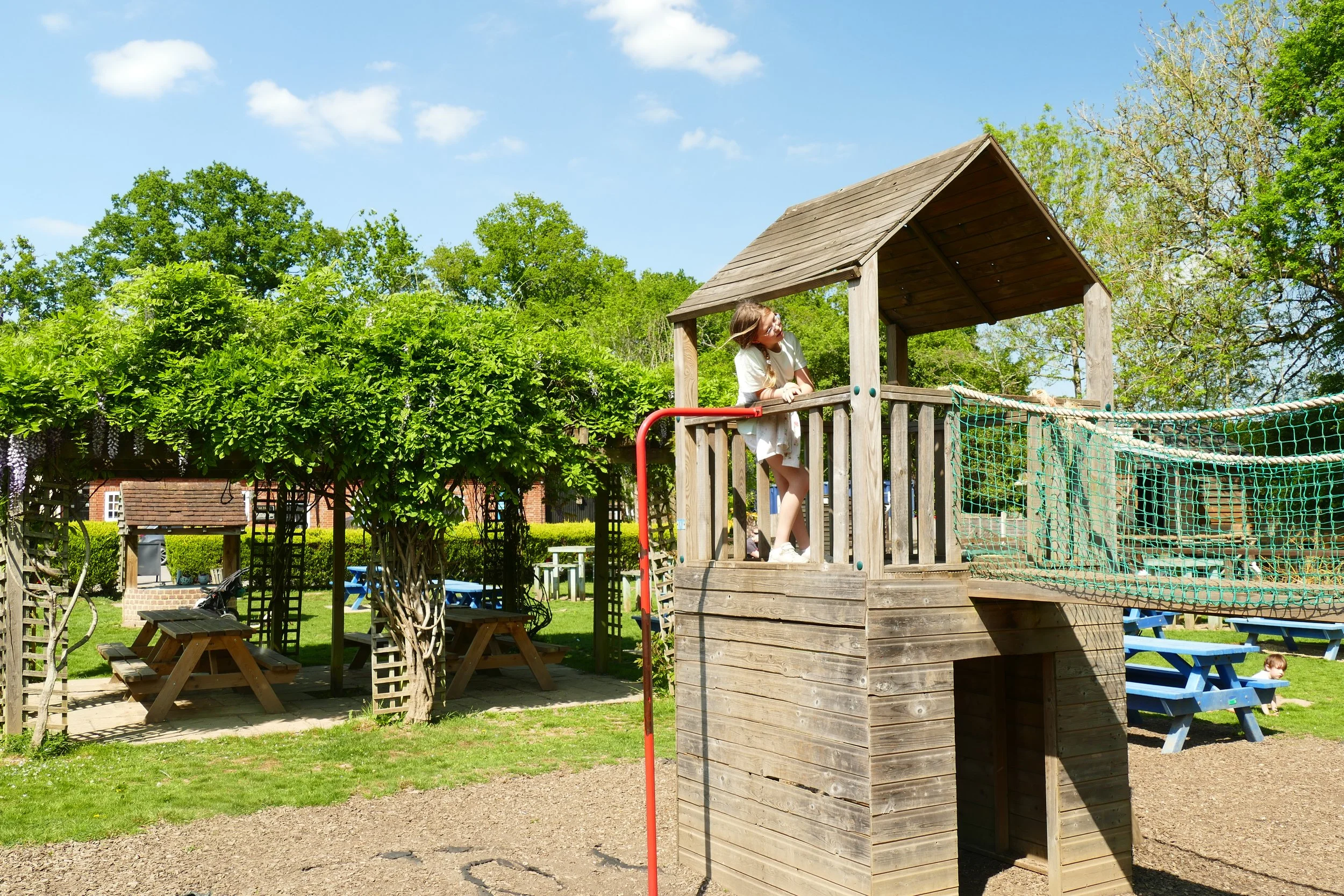
Once back at your starting point, there is still plenty more to see and do. You will find a café with indoor and outdoor seating, a Jude’s ice-cream kiosk (weekends and school holidays), toilets, plenty of picnic tables, a viewpoint and a play area mainly crafted from natural materials. On our visit during the summer holidays, The National Trust had also provided archery, tennis, badminton, football, giant Jenga and other sports equipment for children to use for free. There was also a little shepherd’s hut with some wartime memorabilia, including army costumes to try on.
As a member, you gain instant access to our complete PDF library of over 200 walks. Members also benefit from special discounts we arrange at some of our favourite pit-stops.


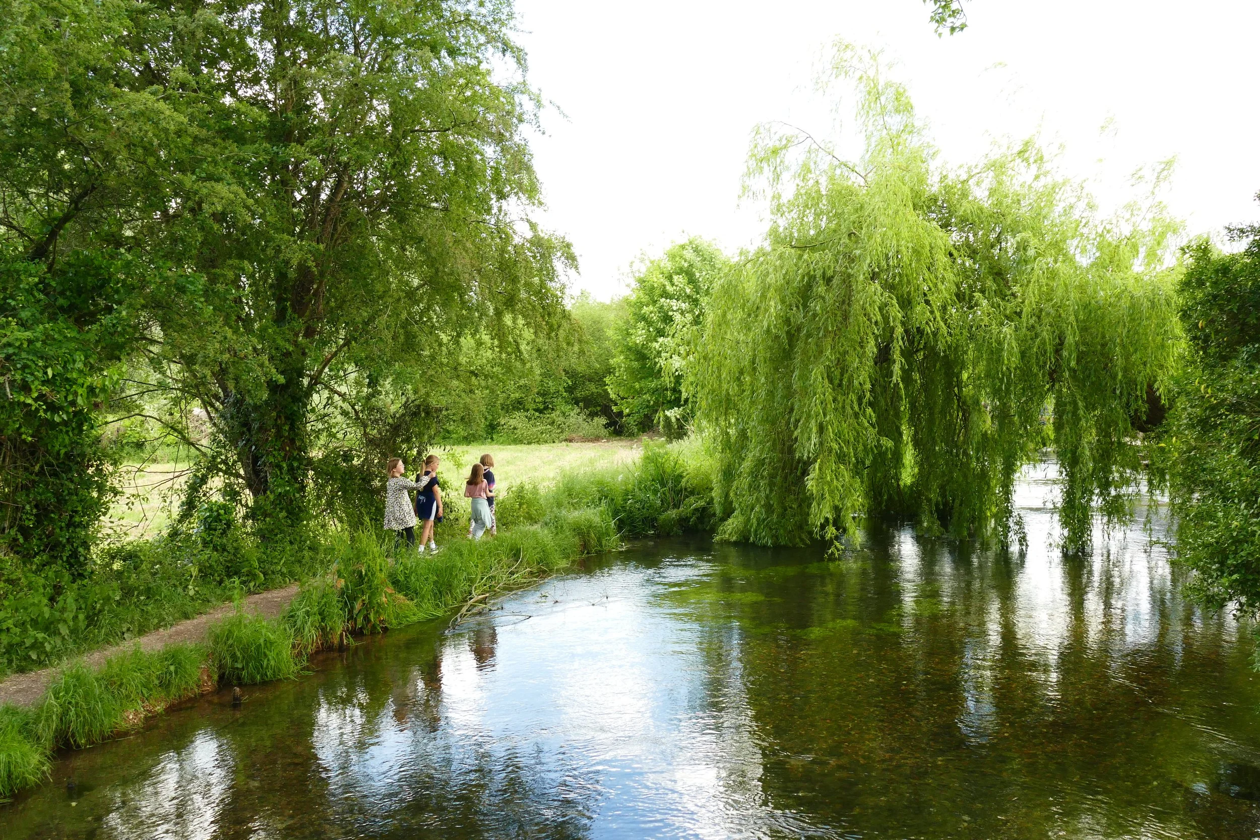
The Challenging Route
The following is a walk that skirts the rim of the bowl, before going down into the valley through woodland. It does have some steep slopes. It should take just over an hour to complete and is 3.3 km long. It is not suitable for pushchairs.
Take the main path leading straight ahead from the car park towards the punchbowl (this is the same starting path as the route above). After a short distance, views will open up to your left. They really are spectacular!
After about 20 minutes of walking from the car park, you will see a footpath marker on your left going down into the valley, where there is a gate across the path. It is the first ‘proper’ path you will have seen on your left. As you go down the hill, hang right to take the tarmac track. This will bend to the right, taking you past Highcombe Farm.
After you have passed the farm, follow the National Trust sign to your left into a wooded area. Continue down hill to a wooden bridge over a stream.
From here you will begin to climb back out of the valley on the other side. Keep left after the first climb, and then where the path forks into more woodland, take the upper path and continue climbing.
When you reach the top, take the left path and this will take you back round the rim of the punchbowl in an anti-clockwise direction to the car park, play area, café, toilets and picnic area.
Did you know?
Legend has it that the punchbowl was created when the Devil was having a flight with Thor, the god of thunder. Thor lived nearby at Thursley (Thor’s Lie) and the Devil lived near Churt at The Devil’s Jumps. They often aggravated each other with Thor hurling thunder at the Devil. One day, the Devil was angered and scooped up a handful of earth to toss at Thor, thus creating the indentation know as The Devil’s Punchbowl.
Sir Arthur Conan Doyle often walked the area and it is thought that Hindhead Common inspired his book, The Hound of the Baskervilles.
The heathland here on the route from London to Portsmouth was a notorious hang-out for highwaymen. One unfortunate sailor was murdered by three men he met in a pub in Thursley in 1786. You can see a stone dedicated to him and the point where the three men were hung for their crime on Gibbet Hill.
You can see on the landscape the scar where the old A3 road used to pass before the long awaited completion of the Hindhead Tunnel in 2011.
If you enjoyed this walk…
…try this one at Witley Common, another National Trust space with a natural play area.
We are passionate about keeping The Ambling Path as a free resource available to everyone, forever. If you have enjoyed using our walking guides, then please consider leaving us a donation. This will help to cover our costs as well as rewarding the considerable time and effort needed to maintain the site. Thank you.
Follow us on social media to see our new walks and get regular updates on our old ones: